This copy is copyright protected.
Copyright © 2024 Geographicus Rare Antique Maps
1833 Ritter Map of Tibet, Nepal, Uttar Pradesh, Uttarakhand, India, Transhimalaya
ButanSikkm-ritter-1833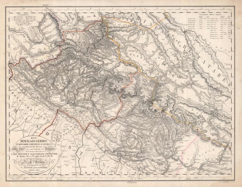

Carl Ritter (August 7, 1779 - September 28, 1859) was a German geographer. Born in Quedlinburg, Ritter attended the Schnepfenthal Salzmann School from the age of five. This school, which focused on the study of nature, would influence Ritter for the rest of his life. Ritter was introduced to Bethmann Hollweg, a banker from Frankfurt, after he graduated. Hollweg soon arranged for Ritter to tutor his children, in exchange for which Ritter would attend the University of Halle at Hollweg's expense. Ritter began tutoring Hollweg's children in 1798 and continued to do so for the following fifteen years. He even spent 1814 - 1819 in Göttingen to continue this work, which is also when Ritter began to devote himself exclusively to the study of geography. He also married his wife Lilli Kramer and wrote the first two volumes of his masterwork, Erdkunde, during his time in Göttingen. Ritter was named professor of history at the University of Frankfurt in 1819 and gained a position in the history department at the University of Berlin the following year. Ritter received his doctorate from the University of Berlin in 1821 and was appointed the first professor of geography there in 1825. He was elected to the Prussian Academy of Sciences in 1822 and became a corresponding member of the Société Asiatique de Paris two years later. Ritter founded the Berlin Geographical Society (Gesellschaft für zu Berlin) in 1828 and in 1849 was elected a Foreign Honorary Member of the American Academy of Arts and Sciences. He was appointed curator of the Royal Cartographic Institute of Prussia in 1856 and died in Berlin in 1859. His masterwork, Erdkunde im Verhältnis zur Natur und zur Geschichte des Menschen oder allgemeine, vergleichende Geographie, als sichere Grundlage des Studiums und Unterricts in physicalischen und historischen Wissenschaften, consists of 19 parts and 21 volumes, and is one of the most extensive works of geography written by a single author. More by this mapmaker...
Julius Ludwig Grimm (November 2, 1806 - January 17, 1834) was a German cartographer active in Berlin in the early 20th century. Grimm was born in Wetzlar, Hesse, Germany. Little is known of his life or education, but he worked under Heinrich Berghaus (1797 –1884) and later Carl Ritter (1779 - 1859), on parts of his monumental Erdkunde im Verhältnis zur Natur und zur Geschichte des Menschen oder allgemeine, vergleichende Geographie, als sichere Grundlage des Studiums und Unterricts in physicalischen und historischen Wissenschaften. In 1832, he founded his own publishing house together with the engraver Wilhelm Scharrer, with whom he published a pneumatic (inflatable) globe. Unfortunately, fate ended the career of an otherwise promising young mapmaker and he died shortly thereafter in 1834. Learn More...
Franz August von Etzel (July 19, 1784 - December 25, 1850) was a Prussian military officer and the first 'Royal Prussian Telegraph Director'. He was born in Bremen to an Irish immigrant family of noble lineage. He initially applied to the Königlichen Ingenieurakademie in Potsdam, but was declined as his Irish noble heritage was not recognized. Instead, he studied pharmaceuticals, but retained a lifelong passion for technology and geography. He traveled to Paris to extend his studied in geography and mining engineering. It was there that he befriended Alexander von Humboldt (1769 - 1859), with whom he maintained a lifelong correspondence. From 1808 to 1810 he ran the 'Zum krönten Schwarzen Adler' pharmacy in Berlin. He joined the Prussian Army in 1810, taking part in the battles of Ligny and Waterloo. His superiors became aware of his geographical interests and assigned him to compile a military-topographical survey of the Rhine Province, which he worked on from 1816 - 1820. He then served as a geodesist. In 1831, back in Berlin, he was appointed to the 'Immediate Commission for the Establishment of the Telegraph'. He was commissioned to build a 550 km long optical telegraph line from Berlin to the Rhine Province. He also developed the code system and the procedural instructions for the operation of the telegraph and managed the entire system from 1835 as 'Royal Prussian Telegraph Director'. As such, he dealt intensively with the emerging electromechanical telegraphy, developed the corresponding equipment himself and carried out preparatory work for the introduction of the system in Prussia, which took place while he was still in office. His noble heritage was finally recognized on June 25, 1846, and he changed his name to 'von Etzel'. Unfortunately, in that same year he suffered a stroke, from which he never recovered. He was promoted to Major General before retiring, but died shortly thereafter. Learn More...
Copyright © 2024 Geographicus Rare Antique Maps | Geographicus Rare Antique Maps
This copy is copyright protected.
Copyright © 2024 Geographicus Rare Antique Maps