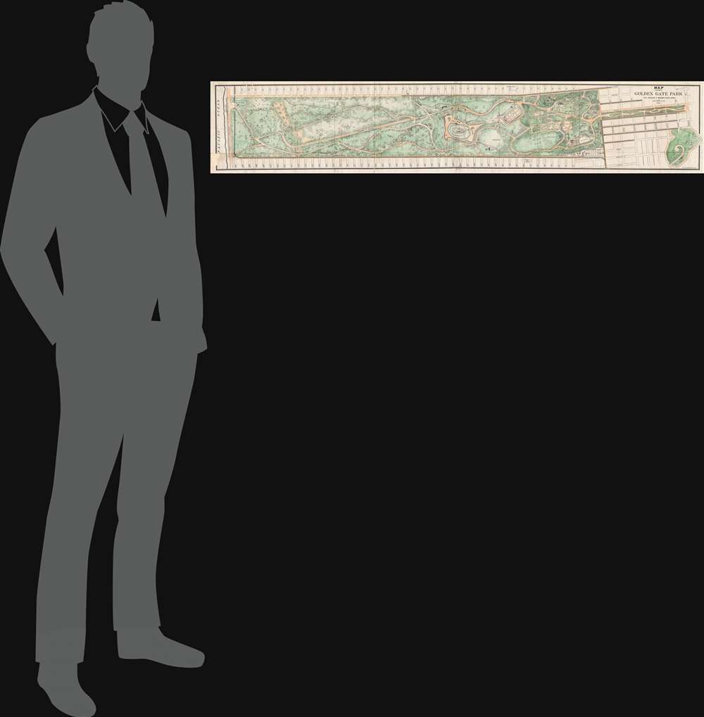
1903 Britton Map of Golden Gate Park, San Francisco
GoldenGatePark-britton-1903$1,000.00

Title
Map showing the Golden Gate Park The Avenue and Buena Vista Park.
1903 (dated) 10 x 54 in (25.4 x 137.16 cm) 1 : 4800
1903 (dated) 10 x 54 in (25.4 x 137.16 cm) 1 : 4800
Description
A rare sprawling map of San Francisco's Golden Gate Park issued in 1903. The map Golden Gate Park in full as well as The Avenue, today called 'The Panhandle' and nearby Buena Vista Park. San Franciscans began to recognize the need for a public recreation area to rival New York City's Central Park in the late 1860s. However, plans for Golden Gate Park did not get underway until the early 1870s. This is the earliest map we are aware of to illustrate the full park.
History of the Design
The design of Golden Gate Park, as seen here, is the work of San Francisco visionaries William Hammond Hall and John McLaren. The duo performed much the same function as Fredrick Law Olmstead and Calvert Vaux in New York's Central Park, which is to say, laying out topography, preparing garden design, and developing the architectural character of the space. The modern-day park, aside from its overall topography, general form, and the configuration of various drives and transverses, bear little relationship to the layout seen here. Nonetheless, the planed park did eventually open as one of the finest urban recreation areas in the world.Publication History
Engraved by Britton and Rey of San Francisco, this map was issued in the 1903 edition of the Annual Report of the Board of Commissioners of San Francisco.Source
Thirty-First Annual Report of the Board of Commissioners of San Francisco June 30, 1902, (San Francisco), 1903.
Condition
Average. Missing small piece, lower left border (repaired). Some additional creasing and wear on original fold lines. Repaired tears here and there (see image). Backed with archival tissue for stability.
References
Rumsey 5361.000.


