1945 Rojo Garcia Map of Havana, Cuba
Havana-rojo-1945$275.00
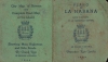

Title
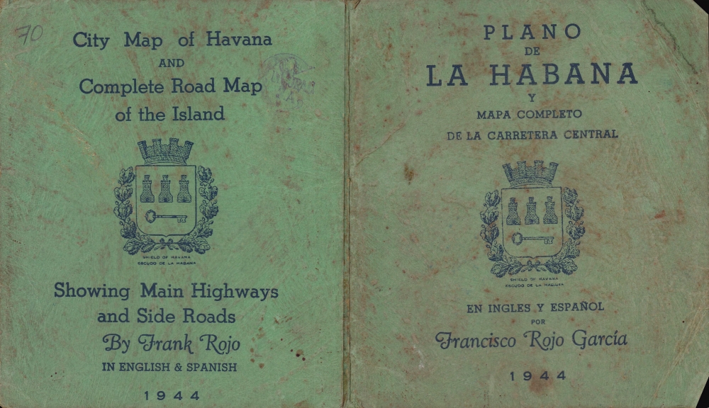
Plano de La Habana y Mapa Completo de la Carretera Central / City Map of Havana and Complete Road Map of the Island.
1945 (dated) 17 x 22 in (43.18 x 55.88 cm) 1 : 16500
1945 (dated) 17 x 22 in (43.18 x 55.88 cm) 1 : 16500
Description
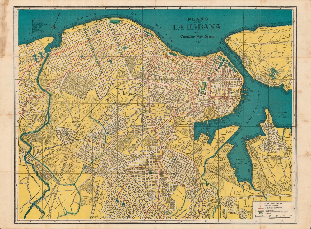
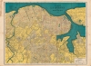
A scarce, colorful, bilingual 1945 map of Havana, Cuba, published by Francisco Rojo y Garcia (Frank Rojo), with a road map of Cuba on the verso. Aside from providing a snapshot of the city in the years before the Socialist Revolution, it also is a testament to the closeness of U.S.-Cuba relations in this period.
The Miramar neighborhood, at left, was home to many Cuban elites and Americans, upscale hotels, and numerous clubs and cabarets, some of which are listed here. American mafia outfits were especially involved in the city's nightlife, running bars and casinos, selling drugs, and overseeing prostitution.
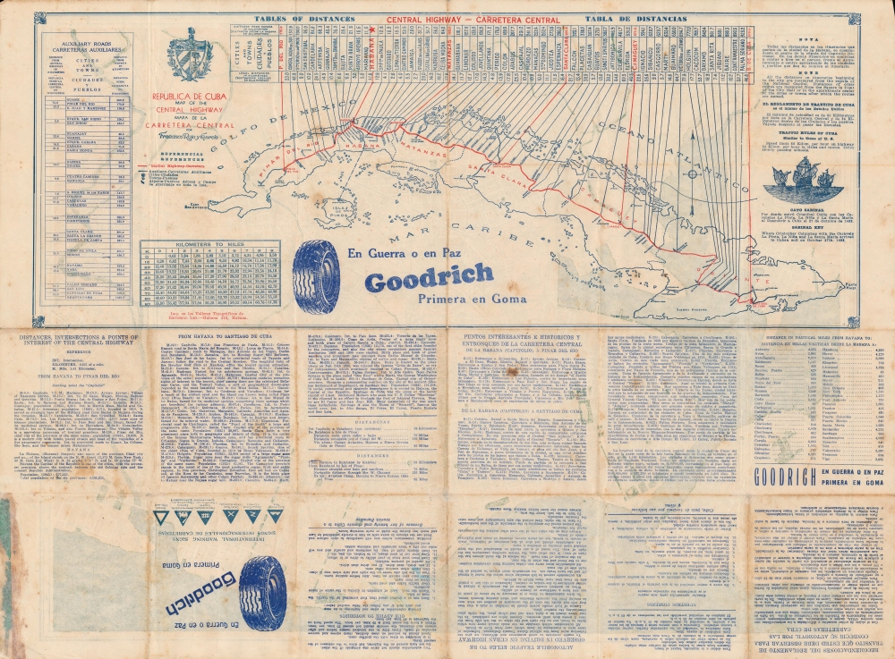
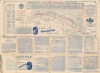
This map dates from the 'golden age' of Cuban-American relations, when American businesses dominated the island's major industries, as evidenced by the Goodrich tires advertisement on the verso, which includes a map and information on Cuba's Central Highway (Carretera Central).
A Closer Look
The geography of Old Havana is instantly recognizable, with major sites such as El Capitolio, El Castillo del Príncipe, and the Cementerio de Colón noticeable at a glance. Roads, streetcars, railways, public institutions, parks, and more are indicated throughout. The geography of the city's historic center as it appears here largely remains today, though some streets have been renamed and monuments built to honor the 1959 Socialist Revolution.The Miramar neighborhood, at left, was home to many Cuban elites and Americans, upscale hotels, and numerous clubs and cabarets, some of which are listed here. American mafia outfits were especially involved in the city's nightlife, running bars and casinos, selling drugs, and overseeing prostitution.
This map dates from the 'golden age' of Cuban-American relations, when American businesses dominated the island's major industries, as evidenced by the Goodrich tires advertisement on the verso, which includes a map and information on Cuba's Central Highway (Carretera Central).
Publication History and Census
This map was produced and published by Francisco Rojo Garcia, also listed as Frank Rojo, with the date of 1944 on the cover and 1945 on the map itself. Little is known about Rojo aside from his publication of maps of Havana with similar titles as the present one, dating from the 1920s up to 1963. The present edition is not listed in the OCLC and has no known history on the market, while four other editions of the map are noted in the OCLC, held by a small number of academic institutions.Condition
Very good. Wear along original fold lines. Verso reinforcements at a few fold intersections. Text and map of Cuba on verso.