This copy is copyright protected.
Copyright © 2024 Geographicus Rare Antique Maps
1930s Japanese Panorama Map of Lake Biwa, Japan
LakeBiwa-japan-1930s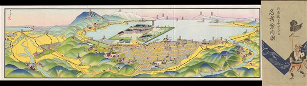

Copyright © 2024 Geographicus Rare Antique Maps | Geographicus Rare Antique Maps
This copy is copyright protected.
Copyright © 2024 Geographicus Rare Antique Maps