1780 Bellin Map of Martinique
Martinique-bellin-1780$350.00

Title
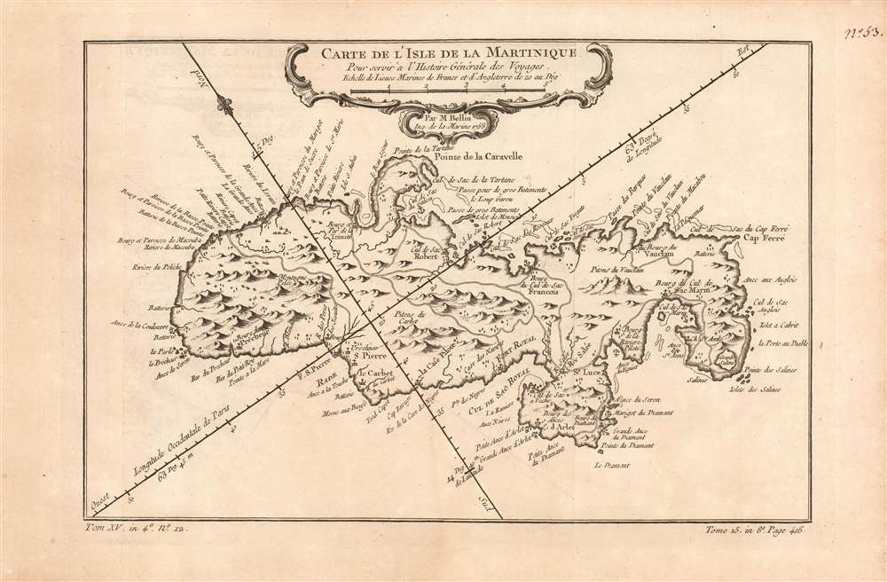
Carte de l'Isle de la Martinique.
1780 (undated) 7.75 x 11.5 in (19.685 x 29.21 cm) 1 : 350000
1780 (undated) 7.75 x 11.5 in (19.685 x 29.21 cm) 1 : 350000
Description
This is a beautifully engraved 1780 map of the island of Hispaniola or Saint Domingue, modern-day Haiti and the Dominican Republic. The map shows topographical features pictorially. Lakes, rivers and towns are marked and named, including Santo Domingo and Port-au-Prince. In the central part of the island is the town of Hinche (Hincha). This village, founded by Spanish settlers in 1704, was in an economically driven population boom when this map was engraved: it was a cattle town able to capitalize on selling beef to the neighboring French colony (Haiti) where it was more than seven times as expensive.
Samaná
The map shows the Baye de Samana, now known as a winter mating ground for humpback whales. Partially enclosing the bay, to the north, is the Island of Samaná: one of the many cartographic instances of a peninsula being incorrectly depicted as an island. This, in spite of mapmakers as venerable as Gastaldi, Ortelius, and Hondius having included the peninsula! Although some cartographers omit the peninsula entirely, depictions of Samaná Island appear to be an error originating in French cartography with D'Anville and which was perpetuated by both Bellin and Robert de Vaugondy. Although in 1801 and 1802 the Depots de la Guerre and de la Marine corrected the error, Samaná continued to appear as an island well into the 1800s (mainly in American maps copying French maps of the previous century.Publication History and Census
The separate map appears on the market from time to time but is somewhat neglected in institutional collections: OCLC lists perhaps twelve examples of this map in its various editions. La Harpe's Abrégé de l'histoire générale des voyages is well represented in institutions.Cartographer
Jacques-Nicolas Bellin (1703 - March 21, 1772) was one of the most important cartographers of the 18th century. With a career spanning some 50 years, Bellin is best understood as geographe de cabinet and transitional mapmaker spanning the gap between 18th and early-19th century cartographic styles. His long career as Hydrographer and Ingénieur Hydrographe at the French Dépôt des cartes et plans de la Marine resulted in hundreds of high quality nautical charts of practically everywhere in the world. A true child of the Enlightenment Era, Bellin's work focuses on function and accuracy tending in the process to be less decorative than the earlier 17th and 18th century cartographic work. Unlike many of his contemporaries, Bellin was always careful to cite his references and his scholarly corpus consists of over 1400 articles on geography prepared for Diderot's Encyclopedie. Bellin, despite his extraordinary success, may not have enjoyed his work, which is described as "long, unpleasant, and hard." In addition to numerous maps and charts published during his lifetime, many of Bellin's maps were updated (or not) and published posthumously. He was succeeded as Ingénieur Hydrographe by his student, also a prolific and influential cartographer, Rigobert Bonne. More by this mapmaker...
Source
De la Harpe, Abrégé de l'histoire générale des voyages. (Paris), 1780.
Condition
Very good. Lightly toned. Wide margins, no repairs.
References
OCLC 5415213.