This item has been sold, but you can get on the Waitlist to be notified if another example becomes available, or purchase a digital scan.
1950 Baille Pictorial Map of Asia (Messageries Maritimes)
MessageriesMaritimes-baille-1950$475.00

Title
Messageries Maritimes. 'Viet-Nam' 'Cambodge' 'Laos' Far Eastern Liners.
1950 (undated) 22 x 34.5 in (55.88 x 87.63 cm)
1950 (undated) 22 x 34.5 in (55.88 x 87.63 cm)
Description
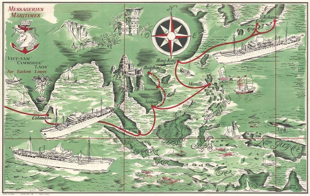
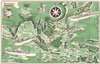
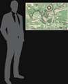
This is a c. 1950 Hervé Baille pictorial map of Asia issued to promote passage service Messageries Maritime's newest vessels: Cambodge, Laos, and Viet-Nam. The three impressive vessels dominate the page while en route from Colombo to Yokohama. Additional pictorial vignettes highlight historic sites, including Angkor Wat and the Potala Palace.
Travel to Asia
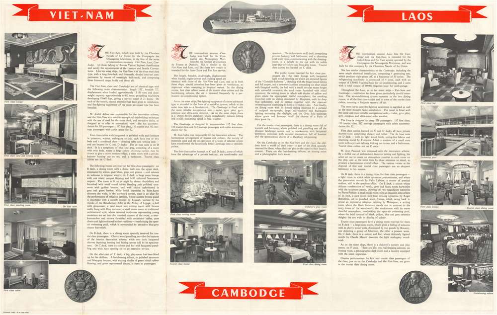
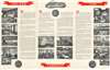
The month-long voyages began at Marseille and then called at Port Said and Aden (which are not on the map), then Bombay, Colombo, Singapore, Saigon, Hong Kong, Kobe (only on the eastbound voyage), and Yokohama. English text on the verso describes the three new vessels and their richly appointed amenities.Messageries Maritimes
Messageries Maritimes (1852 - 1977) was a French merchant shipping company initially founded as Compagnie des Services Maritimes des Messageries Nationales. In 1853, following the proclamation of the Second Empire by Napoleon III, the company expanded, rebranding itself as Compagnie des Services Maritimes Imperiales. After the Franco-Prussian War (1870 - 1871) and the foundation of the Third Republic, the company again changed its name, this time to Compagnie des Messageries Maritimes (MM). From 1871 to 1914, MM enjoyed a golden age. Their ships were easily recognizable for their distinctive silhouette and white paint. World War II (1939 - 1945) decimated the company's fleet, which had been split between the Allies and Vichy France. By the end of the war, only 21 ships remained. After the war, the company commissioned 9 combination passenger and cargo ocean liners - three devoted to the Indochina-Far East line. The firm remains active under the name Compagnie Générale Transatlantique.Publication History and Census
This map was created by Hervé Baille and published by Messageries Maritimes c. 1950. We note a single cataloged example in OCLC at the State Library of New South Wales. This map appears occasionally on the private market.Cartographer
Frédéric Marie Joseph Hervé Baille (January 21, 1896 - June 3, 1974) was a French artist and engraver. Born in Sète, Baille became an important figure in the French scomic art community and held exhibitions of his work throughout Europe. Baille created advertisements and other work for Air France beginning in 1940 and was named Peintre de la Marine in 1947. More by this mapmaker...
Condition
Very good. Wear along original fold lines. Verso repairs at fold intersections. Closed tears extending one (1) inch below and to the left of Angkor Wat not effecting any printed illustration. English text and printed images on verso.
References
OCLC 966425742.