1922 Clason Resource Map of Wyoming
ResourceWyoming-clason-1922$500.00

Title
Resource Map of Wyoming.
1922 (undated) 21.25 x 31.25 in (53.975 x 79.375 cm) 1 : 1284000
1922 (undated) 21.25 x 31.25 in (53.975 x 79.375 cm) 1 : 1284000
Description
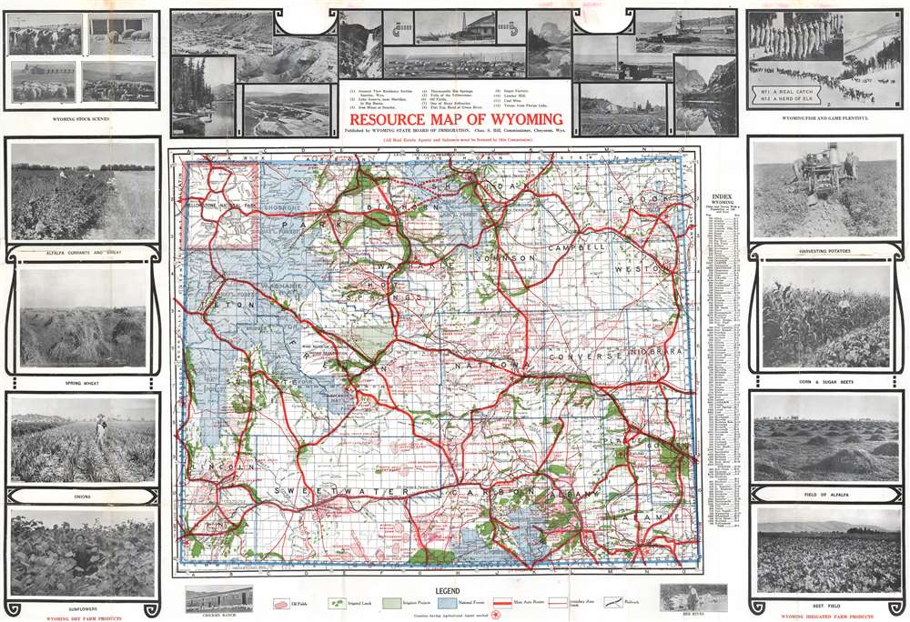
This c. 1922 Clason Map Company and Wyoming State Board of Immigration promotional resource map of Wyoming. The map was published to encourage immigration and development to the beautiful yet remote state. Uniform coding throughout highlights the states rich natural resources: red identifies oil fields, dark green marks irrigated land, light green identifies proposed and developing irrigation areas, and blue areas identify national forests. Yellowstone National Park is illustrated and labeled in the upper left corner of the state. Photographs of Wyoming's farming, ranching, and mining form the border. These images include a chicken ranch, bee hives, and fields of sunflowers, onions, and sugar beets.
Verso Content
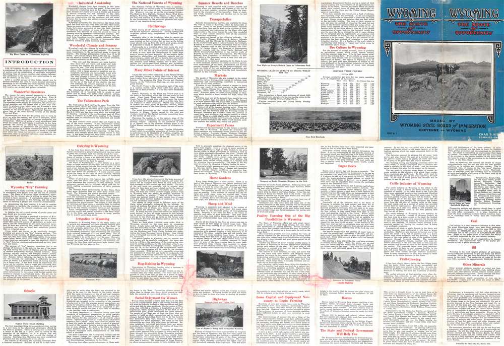
Promotional text fills the verso, divided into digestible sections focusing on everything from Yellowstone National Park, summer resorts, and transportation to schools, home gardens, and 'social enjoyment for women'. It seems State Board of Immigration aimed to address every concern a potential immigrant might have.Publication History and Census
This map was created by the Clason Map Company and published by the Wyoming State Board of Immigration c. 1922. Five examples are cataloged in OCLC and are part of the institutional collections at the University of Chicago, the Denver Public Library, Texas Tech, the University of Wyoming, and Stanford University.Cartographer
George Samuel Clason (November 7, 1874 - 1957) was born in the city of Louisiana, Missouri in 1874. As a young man, Clason studied at the University of Nebraska before joining the United States Army in 1898 to fight in the Spanish American War. After the war, he moved to Denver, Colorado where in 1905 he founded the Clason Map Company, thus starting his lucrative publishing career. Clason initially focused on mining and mineral maps - capitalizing on the Colorado and Nevada mining industry, but quickly transitioned to railroad maps, city maps, and by the 1920s, road maps. As the company expanded, Clason opened a secondary office in Chicago, Illinois - then a rising map publishing center and railroad hub. At least one other satellite office was opened in Los Angeles. Among his many achievements, Clason is credited with producing the first modern road atlas of the United States. In the late 1920s, Clason also published a series of get-rich-quick pamphlets in the form of parables. The most famous of these is The Richest Man in Babylon. This tells the story of Arkad, a citizen of Babylon famed for his great wealth and generosity who shares his wit and wisdom with his fellow Babylonians. In 1949, Clason moved to Napa, California to retire and found a social club for retired gentlemen. More by this mapmaker...
Condition
Average. Exhibits wear and toning along original fold lines. Areas of infill to left and right margin at top horizontal fold. Exhibits old tape repairs along both horizontal fold lines on verso. Text on verso.
References
OCLC 281307559.