1835 Manuscript Map of the Santorini Island Group in the Greek Archipelago
Santorini-manuscript-1835$350.00

Title
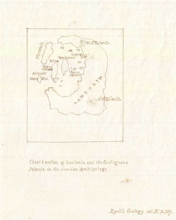
Chart and section of Santorin and the Contiguous Islands in the Grecian Archipelago.
1835 (undated) 6.5 x 5.5 in (16.51 x 13.97 cm) 1 : 250000
1835 (undated) 6.5 x 5.5 in (16.51 x 13.97 cm) 1 : 250000
Description
This is a lovely c.1835 manuscript map depicting the Santorini Island group in the Greek Archipelago. It covers the islands of Santorini or Thira, Therasia, Nea Kameni, Palaia Kameni and Aspronisi located in the southern Aegean Sea. The Santorini group of islands, the southernmost member of the Cyclades, are remnants of the volcanic island which erupted in 1613 BC, creating the Caldera of Santorini. The map notes depth soundings in the central lagoon and identifies the Profitis Ilias (Gr. St. Elias B.) and the Kl. St. Elias B. Today the islands are popular tourist destinations. According to the text in the lower right quadrant, this map was most likely based on “Lyell’s Geology, vol. II. P. 307.”
Condition
Very good. Manuscript map. Minor spotting.