1957 U.S. Geological Survey Map of Seattle, Washington and Vicinity

Seattle-usgs-1957
$750.00
Seattle and Vicinity. - Main View
Processing...

1957 U.S. Geological Survey Map of Seattle, Washington and Vicinity

Seattle-usgs-1957

A huge map of Seattle!
$750.00

Title


Seattle and Vicinity.
  1957 (dated)     68 x 38 in (172.72 x 96.52 cm)     1 : 24000

Description


An extremely large format 1957 U.S. Geological Survey map of Seattle, Washington and vicinity that renders the densest regional urban areas immediately apparent by shading with them a striking red. Per a note along the bottom border, 'red tint indicates area in which only landmark buildings are shown'. In addition, countless suburban buildings individually illustrated south of Seattle along the Olympic Peninsula. In this part of the metropolis, schools, golf clubs, and cemeteries are identified, along with Seattle-Tacoma Airport and Renton Airport. Kirkland, Houghton, and Renton are labeled along the shores of Lake Washington, and the Lake Washington Pontoon Bridge is labeled as well. The dark red lines highlight the region's major transportation arteries, its 4- and 6-lane highways. Contour lines illustrate topography and areas shaded green are parks or wooded areas.
Publication History and Census
This map was created and published by the U.S. Geological Survey in 1957. It is well represented institutionally.

Cartographer


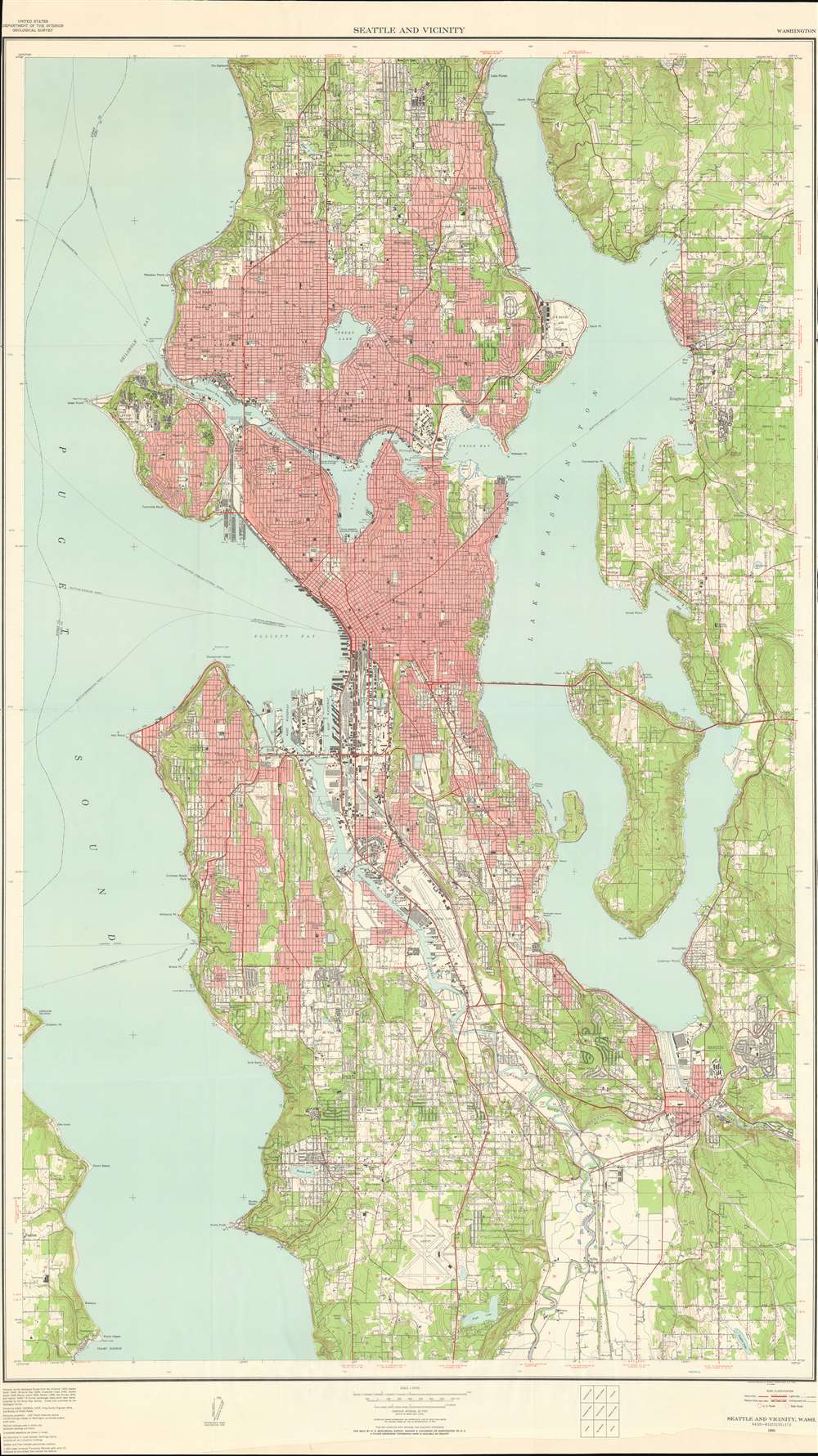
The United States Geological Survey (1878 - Present), aka the U.S.G.S., is a scientific agency of the United States government, which was founded in 1879. USGS scientists study the landscape of the United States, its natural resources, and the natural hazards that threaten it. The organization has four major science disciplines: biology, geography, geology, and hydrology. It is a bureau of the United States Department of the Interior and is the department's only scientific agency. More by this mapmaker...

Condition


Good. Very close margins along both sides. Bottom margin extended.

References


OCLC 6323252.