1907 Mendenhall Road Map of Wisconsin
Wisconsin-mendenhallcs-1907$300.00


Title
Mendenhall's Guide and Road Map of Wisconsin.
1907 (dated) 26.5 x 35.75 in (67.31 x 90.805 cm) 1 : 850000
1907 (dated) 26.5 x 35.75 in (67.31 x 90.805 cm) 1 : 850000
Description
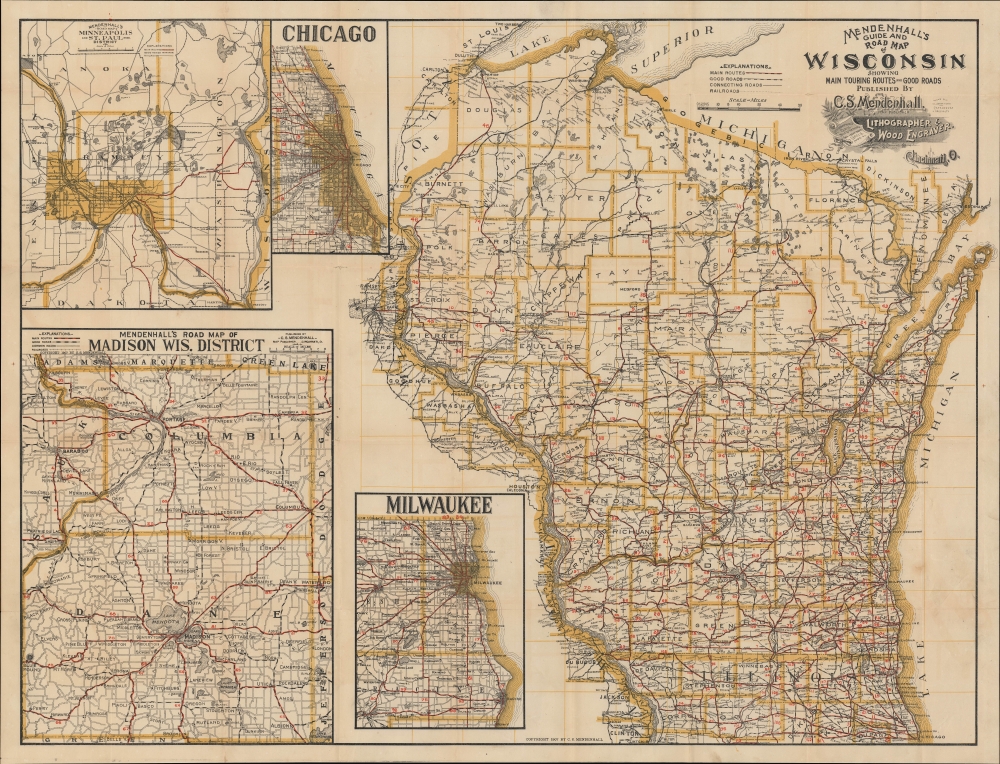
A scarce large-format road map of Wisconsin from the early days of automobile travel, produced and published in 1907 by C. S. Mendenhall. It demonstrates the development of (mostly dirt) automobile roads in the state as a growing alternative to railroads.
The insets include a road map of the area around Minneapolis - St. Paul, a similar map of the region around Madison, a city plan and road map of Chicago, and a road map of Milwaukee and environs.
A Closer Look
The sheet is divided nearly in half, with a map of the state of Wisconsin and portions of neighboring states at right, and several insets at left. The map of the state displays county boundaries as well as an unnumbered grid. Roads are highlighted, with the quality of road noted as well as distances between cities and larger towns, with careful attention paid to cataloging the small towns automobile routes. Railroads are also indicated, though much less prominently.The insets include a road map of the area around Minneapolis - St. Paul, a similar map of the region around Madison, a city plan and road map of Chicago, and a road map of Milwaukee and environs.
Good Roads Everywhere
The movement for 'good roads' predated the widespread adoption of automobiles, and was initially led by bicyclists and advocates for the addition of rural post offices. 'Good roads' initially meant graded dirt roads as opposed to the bumpy, winding, and poorly maintained wagon routes that existed in most parts of the United States. But the increased production and affordability of automobiles led to greater emphasis by interest groups and affiliated businesses on paved (asphalt, gravel, macadamized, or concrete) roads suitable in all weather conditions, no small feat in places like Wisconsin which saw cold weather and precipitation for much of the year. By the 1910s, the good roads movement has developed a vision of paved automobile roads crossing and connecting the country, a precursor to a national highway network and eventually the interstate system.Publication History and Census
This map was prepared and published by C.S. Mendenhall in Cincinnati in 1907. The OCLC only notes it among the holdings of the Milwaukee Public Library and the University of Illinois Urbana Champaign. In 1900, Mendenhall had published a somewhat similar map ('Mendenhall's road map of Wisconsin : showing through bicycle routes in the state, location of towns, post offices, R.R., etc.', held and digitized by the Wisconsin Historical Society) focusing on bicycle routes. Though most of the main routes are the same, a comparison of the two maps highlights the shifting emphasis towards automobiles and the proliferation of 'good roads'.Cartographer
C.S. Mendenhall (fl. c. 1880 - 1930) was a Cincinnati-based map publisher at the turn of the 20th century that mostly produced maps of his home city and nearby areas. Beginning in the 1860s, one E. Mendenhall, presumably the father of C.S., began to publish maps of Cincinnati, with the pace of publications picking up significantly in the 1880s under the name C.S. Mendenhall. He is perhaps best remembered for the large, early road maps that he published of eastern and Midwestern states. More by this mapmaker...
Condition
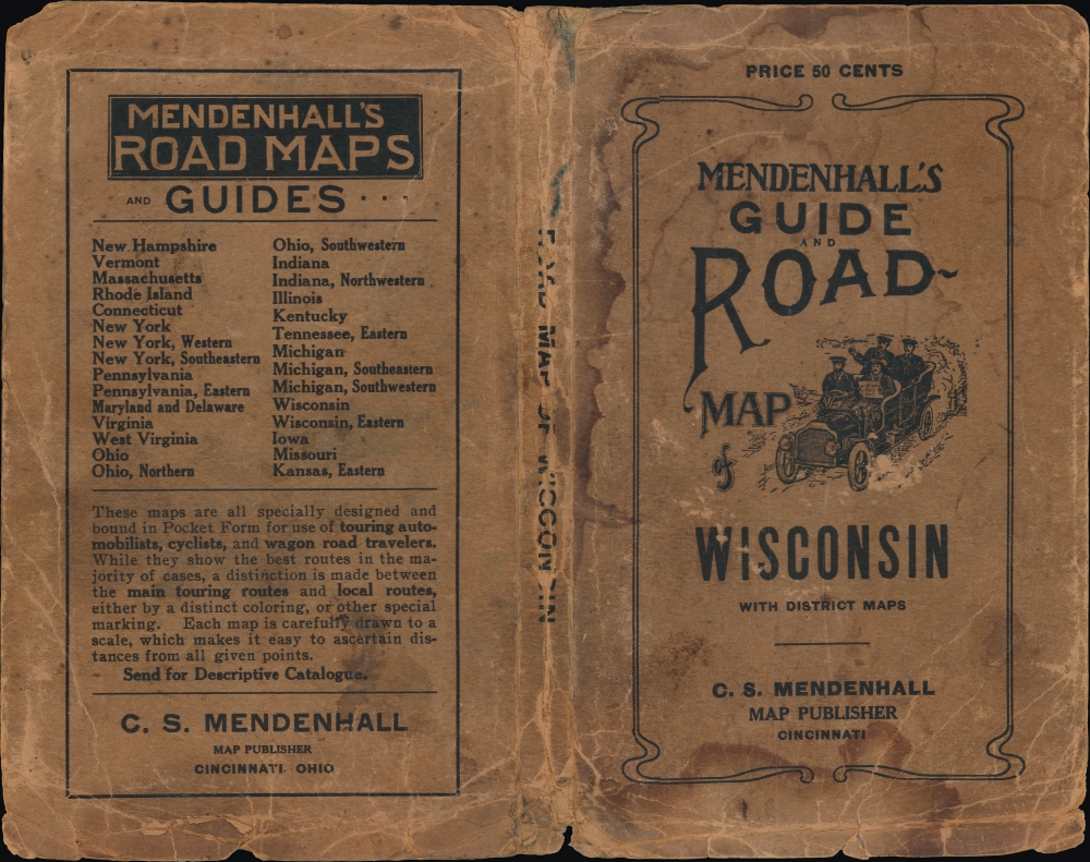
Good. Wear along original fold lines. Verso repairs and reinforcements at nearly all fold intersections. Small areas of infill at many fold intersections. Accompanied by original binder.
References
OCLC 1341405175.