1924 Rand McNally Road Map of Utah
AutoTrailsUtah-randmcnally-1924$175.00


Title
Auto Trails Map of Utah.
1924 (dated) 27.25 x 21.25 in (69.215 x 53.975 cm) 1 : 1216512
1924 (dated) 27.25 x 21.25 in (69.215 x 53.975 cm) 1 : 1216512
Description
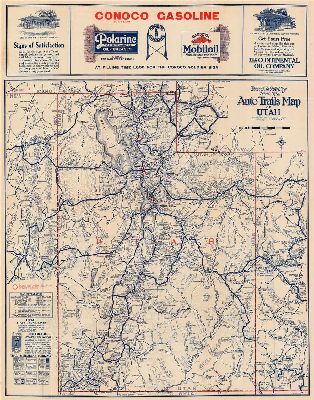
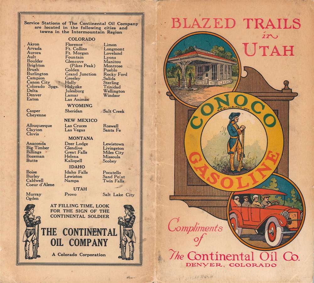
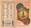
This is a 1924 Rand McNally road map of Utah. Distributed by the Continental Oil Company, the map highlights Utah's highway network. Several named highways traverse the state, including the Lincoln Highway and the National Park to Park Highway, and are marked by small bold placards along the routes. Cities and towns throughout the state are identified, with the largest cities (such as Salt Lake City) appearing in the largest text. Populations are noted next to many cities and towns, and distances between them are provided. Mountains, lakes, and other landmarks are identified. Advertisements for Conoco Gasoline and the Continental Oil Company occupy the top portion of the sheet above the map.
Verso Content
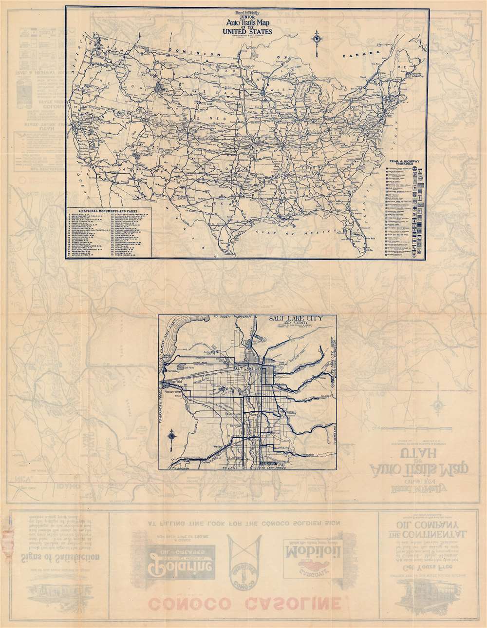
Two maps occupy the verso. One is a map of Salt Lake City, which identifies major roadways and railroads within the city. The second is a map of the United States highlighting national parks and monuments across the country. Major parks, such as Yellowstone and Yosemite, are marked using diagonal lines to fill in their area. Forty-eight other parks are marked by stars and numerically identified. These numbers correspond with a key situated in the lower left corner. Twenty-seven named highways across the country, such as the Lincoln Highway, the Dixie Highway, and the Atlantic-Pacific Highway, are illustrated and numerically identified. The corresponding index occupies the lower right corner.Publication History and Census
This map was created and published by Rand McNally in 1924 and distributed by the Continental Oil Company. We note a single cataloged example in OCLC which is part of the collection at the Newberry Library.Cartographer
Rand, McNally and Co. (fl. 1856 - present) is an American publisher of maps, atlases and globes. The company was founded in 1856 when William H. Rand, a native of Quincy, Massachusetts, opened a print shop in Chicago. Rand hired the recent Irish immigrant Andrew McNally to assist in the shop giving him a wage of 9 USD per week. The duo landed several important contracts, including the Tribune's (later renamed the Chicago Tribune) printing operation. In 1872, Rand McNally produced its first map, a railroad guide, using a new cost effective printing technique known as wax process engraving. As Chicago developed as a railway hub, the Rand firm, now incorporated as Rand McNally, began producing a wide array of railroad maps and guides. Over time, the firm expanded into atlases, globes, educational material, and general literature. By embracing the wax engraving process, Rand McNally was able to dominate the map and atlas market, pushing more traditional American lithographic publishers like Colton, Johnson, and Mitchell out of business. Eventually Rand McNally opened an annex office in New York City headed by Caleb S. Hammond, whose name is today synonymous with maps and atlases, and who later started his own map company, C. S. Hammond & Co. Both firms remain in business. More by this mapmaker...
Condition
Very good. Light wear along original fold lines. Maps of the United States and Salt Lake City on verso. Accompanied by original binder.
References
OCLC 993879837.