This item has been sold, but you can get on the Waitlist to be notified if another example becomes available, or purchase a digital scan.
1835 Manuscript Map of Bali and Lombok Islands, Indonesia
BaliLombok-manuscript-1835$175.00

Title
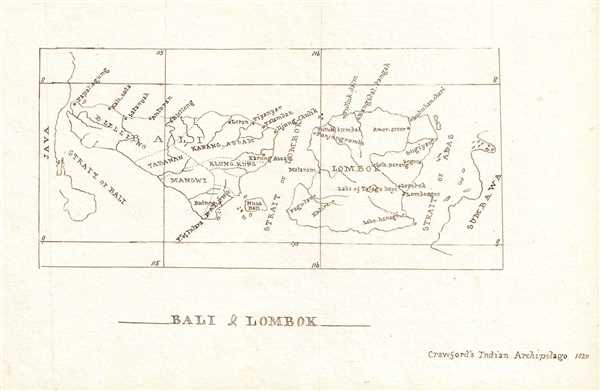
Bali and Lombok.
1835 (undated) 6 x 8 in (15.24 x 20.32 cm) 1 : 1800000
1835 (undated) 6 x 8 in (15.24 x 20.32 cm) 1 : 1800000
Description
This is a beautiful c.1835 manuscript map of Bali and Lombok Islands of Indonesia. According to the note in the lower right quadrant, this map is most likely based on ‘Crawford’s Indian Archipelago, 1820’. The map is beautifully detailed with several important rivers and smaller islands notes. Towns and cities are identified, and territorial boundaries are depicted with dotted lines. Exhibits fine calligraphy.
Condition
Very good. Manuscript map. Minor spotting in margins.