This copy is copyright protected.
Copyright © 2024 Geographicus Rare Antique Maps
1926 Filene's Sons Pictorial Map of Boston
Boston-filene-1926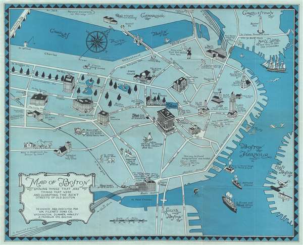

Copyright © 2024 Geographicus Rare Antique Maps | Geographicus Rare Antique Maps
This copy is copyright protected.
Copyright © 2024 Geographicus Rare Antique Maps