1941 Cleartype American Map Co. Map of the Bronx (Bronx County), New York
BronxCounty-cleartype-1941$300.00


Title
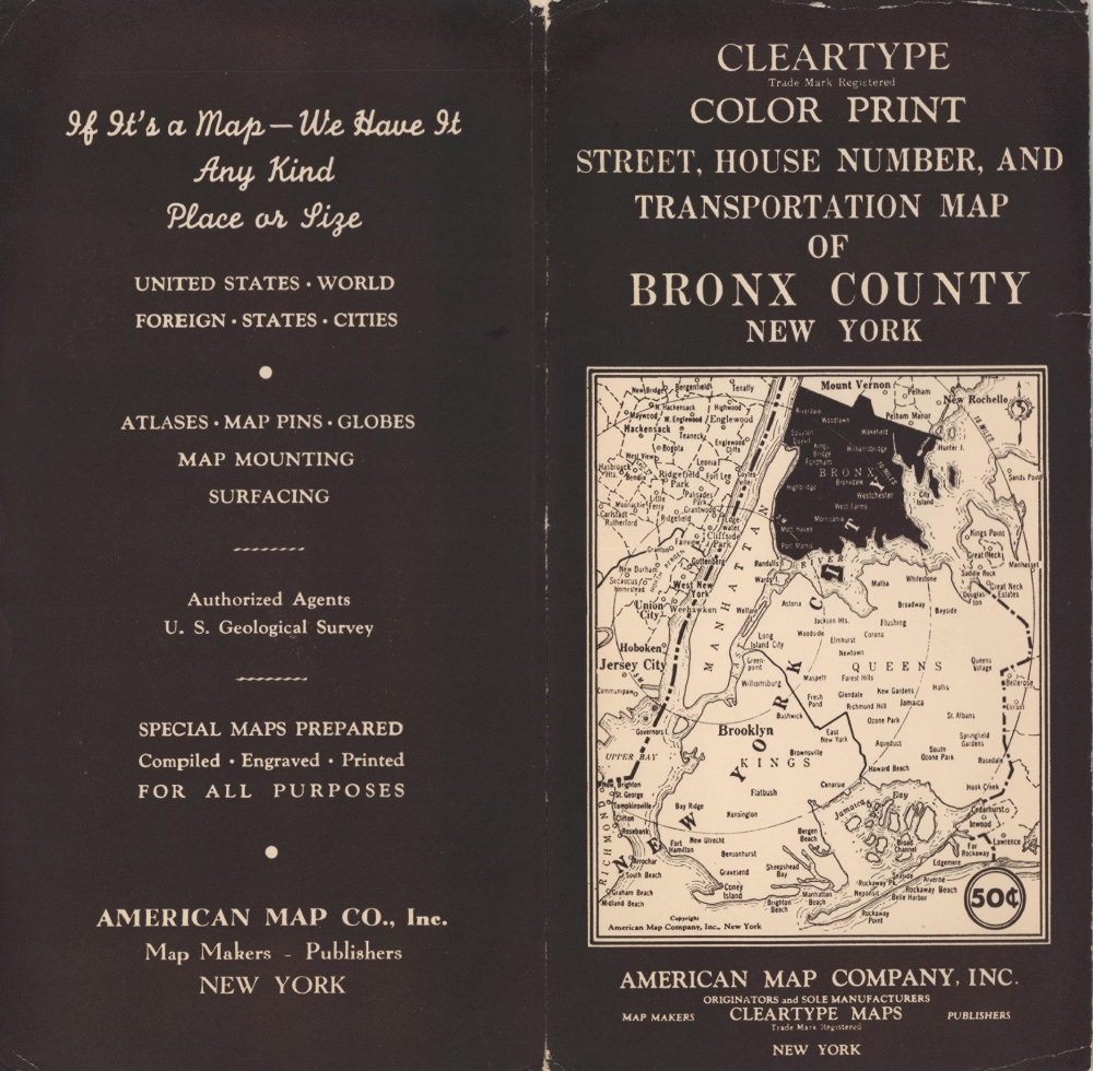
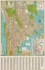
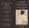
Cleartype Street, House Number, and Transportation Map of Bronx County New York.
1941 (undated) 37.25 x 24 in (94.615 x 60.96 cm) 1 : 23040
1941 (undated) 37.25 x 24 in (94.615 x 60.96 cm) 1 : 23040
Description
This is c. 1941 Cleartype Map of the Bronx, New York City, published as the United States was emerging from the Great Depression. The map presents the borough in a clear and understandable manner, offering motorists and public transport users a much easier commute.
A Closer Look
Depicting from Tibbetts Brook Park in Westchester County south the Central Park in Manhattan, the entirety of the Bronx is depicted, along with Manhattan from East 94th Street to the Harlem River. Created to be easily read, streets, house numbers, parks, and other sites throughout the borough are well labeled. Both the I.R.T. and the Independent subway lines are traced, with express and local stations are marked. The trolley network, which was fully abandoned in 1948, is detailed as well. An inset in the lower right depicts the entire New York City Transit System. An alphabetic street index appears below the map.Publication History and Census
This map was produced by Cleartype Maps, a subsidiary of the American Map Company, c. 1941, based on the trolley network. The Willis Avenue Line is still prominently illustrated but was abandoned in 1941. It is likely that later editions would have removed the defunct line.Cartographer
Cleartype Maps (c. 1929 – 1993) was a map publisher based in New York that was a subsidiary of the American Map Company (c. 1910 – 2013). It principally produced maps of cities and states in the U.S., but also made maps of Canada and Mexico and occasionally world maps and maps of other parts of the world. More by this mapmaker...
Condition
Very good. Light wear along original fold lines. Verso repair to a fold separation.
References
OCLC 869358272.