1953 Ludwig Map of Buenos Aires and Environs
BuenosAires-ludwig-1953$500.00


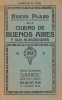

Title
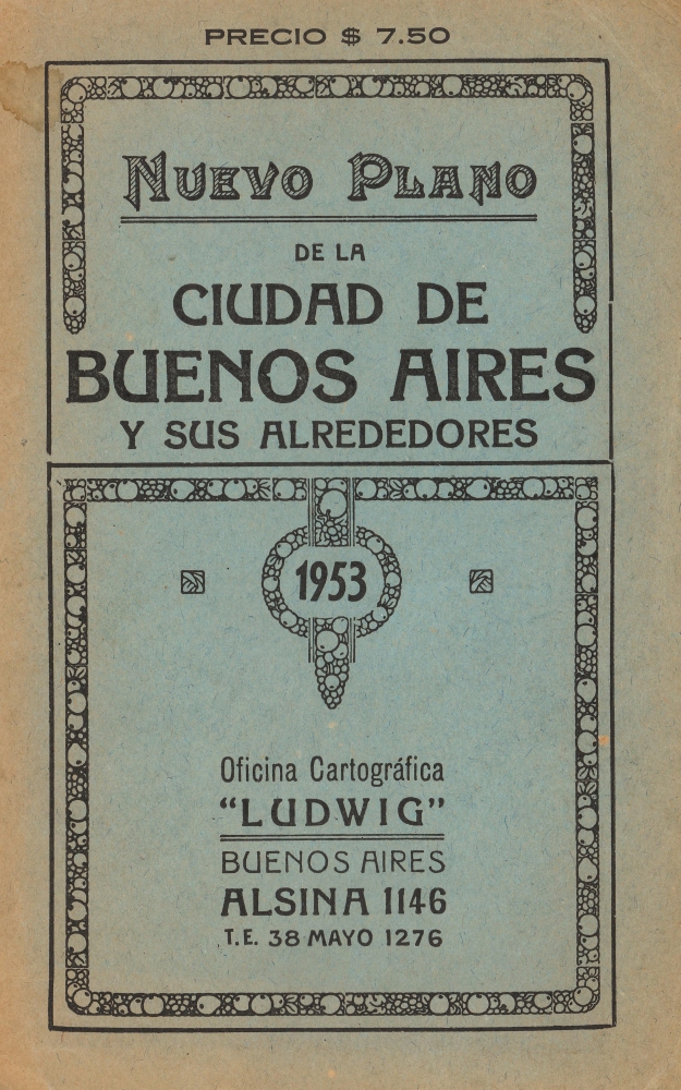
Nuevo Plano de la Ciudad de Buenos Aires y sus Alrededores / Plano de la Ciudad de Buenos Aires y Alrededores.
1953 (dated) 27 x 30 in (68.58 x 76.2 cm) 1 : 25000
1953 (dated) 27 x 30 in (68.58 x 76.2 cm) 1 : 25000
Description
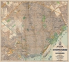
An impressive 1953 large-format city plan or map of Buenos Aires, Argentina, published by Oficina Cartográfica Ludwig. It highlights the tremendous growth of the city in the preceding decades, as working and middle-class areas cropped up around its historic core.
For instance, the Villa Lugano towards top-left was a massive slum when Perón came to power, and was a focal point for public housing efforts in his first presidency (1946 - 1955). Streets in the area are 'ghosted in' here, hinting at work in progress ('manzana no edificada'). By the 1970s, Villa Lugano was filled with huge projects that housed tens of thousands of people.
For his championing of the working-class, Perón was rewarded with near-dictatorial powers, and something of a cult of personality developed which resulted in the renaming of the Retiro Train Station and a Barrio at top-right after the president.
A Closer Look
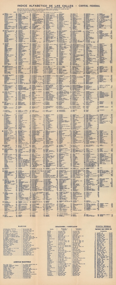
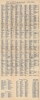
Oriented towards the west, the map offers fantastic details about contemporary Buenos Aires, including its economic, social, and political life. Train lines crisscross the city, terminating at one of several passenger and freight terminals, reflecting Buenos Aires' deserved status as a home to world-class rail infrastructure. The stations in the central part of the city link up with Buenos Aires' equally impressive subway system. Docks, with their owners noted, and industrial facilities at bottom indicate the city's importance for Argentina's economic and commercial life. A legend at left provides additional information on the color-shading and symbols employed. Attached to the map's cover is an extensive index of streets as well as tables listing banks, passenger ship lines, foreign embassies, and police stations.Peronism and Buenos Aires
The upper portion of the map covers suburbs and working-class areas that appeared in the first half of the 20th century as Buenos Aires grew and industrialized. Some of these neighborhoods were effectively shanty towns (villas miseria) and the city's economic inequality was a major driver of the rise of populist president Juan Perón, a native of the city, in 1946. Aside from nationalizing the railways and other industries, Perón (with his lieutenant Domingo Mercante, governor of Buenos Aires Province which surrounds the city center) oversaw the construction of dozens of large-scale housing projects.For instance, the Villa Lugano towards top-left was a massive slum when Perón came to power, and was a focal point for public housing efforts in his first presidency (1946 - 1955). Streets in the area are 'ghosted in' here, hinting at work in progress ('manzana no edificada'). By the 1970s, Villa Lugano was filled with huge projects that housed tens of thousands of people.
For his championing of the working-class, Perón was rewarded with near-dictatorial powers, and something of a cult of personality developed which resulted in the renaming of the Retiro Train Station and a Barrio at top-right after the president.
Publication History and Census
This map and index were published by Oficina Cartográfica Ludwig in 1953. A map with this title or a very similar title was published by that firm with some regularity between 1923 and 1962. However, the 1953 edition does not appear in the OCLC and is rarely on the market.Cartographer
Pablo Ludwig (fl. c. 1890 - c. 1962) was cartographer active in Buenos Aires in the late 19th and early 20th centuries. His office, the Oficina Cartográfica de Pablo Ludwig, published maps of Buenos Aires, regional maps of Argentina, and maps of Argentina as a whole. We have been unable to discover anything about his personal life or a detailed history of his firm. More by this mapmaker...
Condition
Very good. Slight wear and toning along fold lines. Accompanying index attached to cover.