This item has been sold, but you can get on the Waitlist to be notified if another example becomes available, or purchase a digital scan.
1932 U.S. Forest Service Map of California National Forests
CANationalForests-forestservice-1932$162.50

Title
National Forests of California.
1932 (dated) 30.25 x 24.75 in (76.835 x 62.865 cm) 1 : 1500000
1932 (dated) 30.25 x 24.75 in (76.835 x 62.865 cm) 1 : 1500000
Description
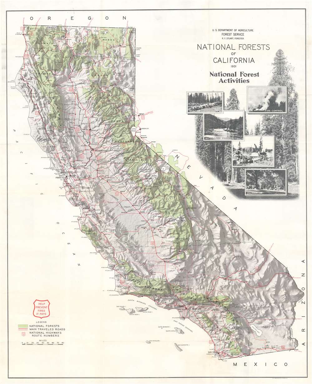
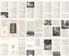
This is a 1932 U.S. Forest Service map of California national forests. The national forests, including Shasta National Forest, Stanislas National Forest, and Sequoia National Forest, are shaded green and labeled with big block letters. Red highlights the state's highways and other major roads. A wonderful pictorial cartouche appears just below the title. Photographs focusing on land use within the forests, including fire control, grazing, watershed protection, and recreation, superimposed over a stunning photograph of trees.
Publication History and Census
This map was created and published by the U.S. Forest Service and printed by the Williams and Heintz Company. We note two examples cataloged in OCLC which are part of the collections at the University of California Santa Barbara and the Bibliothèque nationale de France.Cartographer
The United States Forest Service (February 1, 1905 - Present) is an American government agency that is part of the U.S. Department of Agriculture. Managing about twenty five percent of federal lands, the Forest Service administers 154 national forests and twenty national grasslands, a total of 193 million acres. It is also the only federal land management agency that is not part of the U.S. Department of the Interior. More by this mapmaker...
Condition
Very good. Light wear along original fold lines. Light toning. Text and printed images on verso.
References
OCLC 43066916, 494403519.