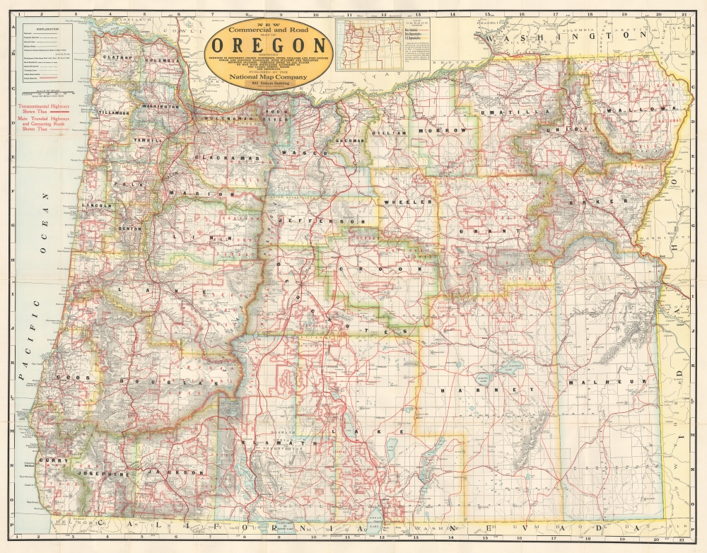
1918 National Map Company Road Map of Oregon
CommercialOregon-nationalmapco-1918$600.00

Title
New Commercial and Road Map of Oregon Showing Counties in Different Colors, Townships, Cities, Villages and Post Offices...
1918 (undated) 37 x 48 in (93.98 x 121.92 cm) 1 : 538560
1918 (undated) 37 x 48 in (93.98 x 121.92 cm) 1 : 538560
Description
This is a c. 1918 National Map Company map of Oregon illustrating the state's first named highways and other roads.
Named Highways
To a modern-day audience, the most curious aspect of this piece is that none of the highways bear numbers but are identified by name. These include the Pacific Capital Highway, the Columbia River Highway, the Dalles California Highway, the Central Oregon Highway, and the Oregon Trail. Bold red lines highlight these routes, while thinner lines trace Oregon's surprisingly extensive road network.A Closer Look
Both existing and proposed railroads add to Oregon's transportation network. Broad red lines outline national forests and other forest reserves. Indian reservations are delineated. Cities, towns, and villages are labeled throughout the state.Publication History and Census
This map was created and published by the National Map Company c. 1918 in Portland, Oregon. As this map is undated, we have arrived at this date based on an advertisement for the National Map Company at 502 Dekum Building in The Sunday Oregonian on December 15, 1918.Condition
Very good. Mounted on linen. Wear along original fold lines and slight loss at some fold intersections. Index on verso. Accompanied by original boards.

