This item has been sold, but you can get on the Waitlist to be notified if another example becomes available, or purchase a digital scan.
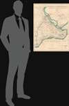
1938 Miltiadis Nomidis Archaeological Map of Constantinople (Middle Ages)
Constantinople-nomidis-1938$237.50

Title
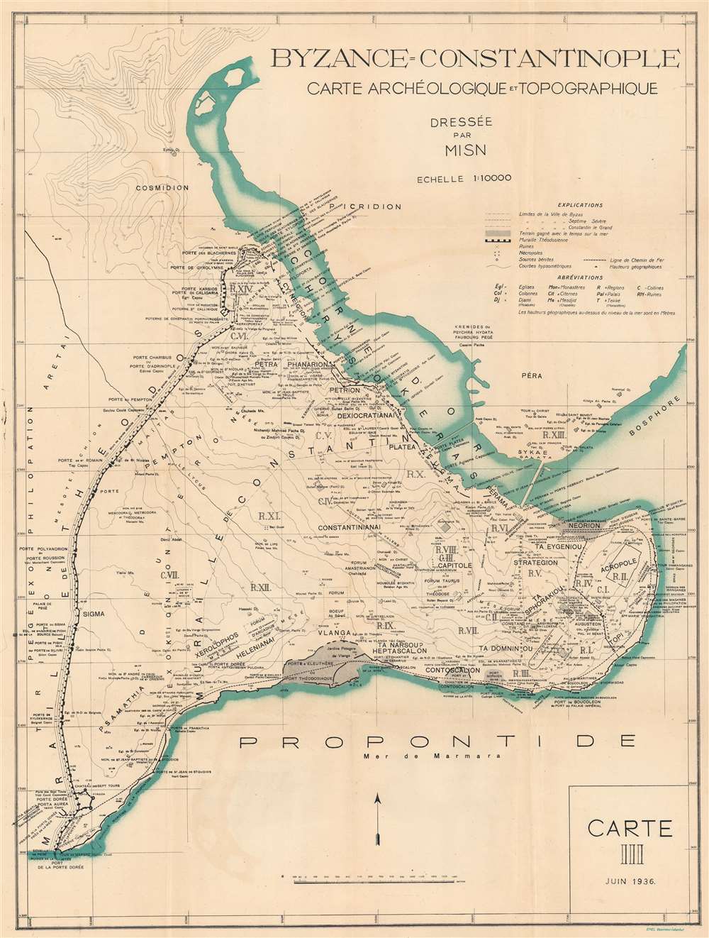
Carte Topographique et Archéologique de Constantinople au Moyen Âge.
1938 (dated) 34 x 25.25 in (86.36 x 64.135 cm) 1 : 10000
1938 (dated) 34 x 25.25 in (86.36 x 64.135 cm) 1 : 10000
Description
This is a 1938 Miltiadis Nomidis archaeological map of Constantinople during the Middle Ages. Using official city plans as his base, Nomidis identifies not only churches and monasteries, but cisterns and other Byzantine ruins that don't appear on any previously published maps.
It's In The Details
The amount of detail present here is astonishing. The sheer number of churches, basilicas, monasteries, mosques, and mausoleums identified boggles the mind. The Acropolis and its walls dominate the eastern end of the peninsula. Dashed lines outline the city's numerous forums. The hippodrome is identified as well. The city's extensive walls appear as thick black lines with gaps marking the city gates, each of which is identified by name. The double Theodosian Walls are the most prominently illustrated.Publication History and Census
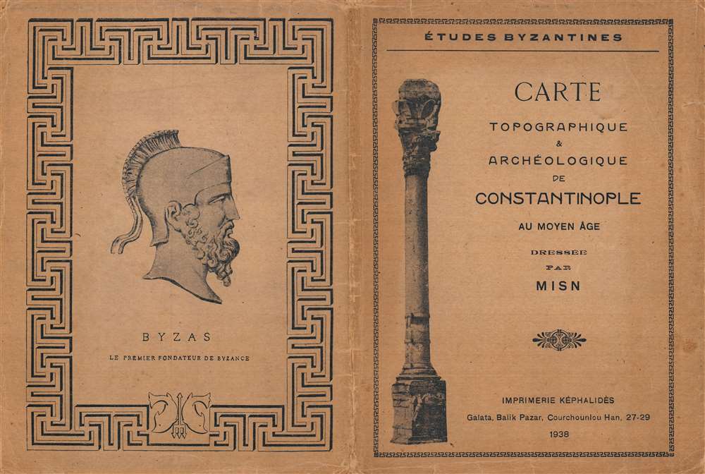
This map was created by Miltiadis Nomidis and originally published in 1936. It was subsequently published in French, Greek, and German. The present edition was published in Greece in 1938 by the Imprimerie Képhalidès. We note a single cataloged example of the present edition which is part of the collection of the Library of the Université Saint-Joseph de Beyrouth. We have located a single known example of the Greek edition in private hands. An empty OCLC record exists for this map, suggesting that a former OCLC member institution created the entry.Cartographer
Miltiadis Isaak Nomidis (1884 - 1959) was an archaeologist and scholar and a native of Istanbul of Greek origin. Nomidis created at least one map which detailed Constantinople in the Middle Ages and marked its many churches, mosques, monasteries, and other important sites. He signed all his works MISN. He spent from May 1937 until March 1938 restoring the mosaics of the Kilise Camii in Istanbul. We found a reference stating that Nomidis owned the Libraire de Péra in Istanbul beginning in 1940 after taking it over from the poet Partriarchias and that his daughter Talya Nomidis, inherited the shop from him. Apparently it still operates today and is owned by Ugur Güracar. More by this mapmaker...
Condition
Very good. Light wear and toning along original fold lines. Accompanied by original binder.
References
Bibliothèque de l'Université Saint-Joseph de Beyrouth AT0400010TR001. OCLC 715271684.