1910 Wagmer Infographic Cycling Map of Bohemia / Czech Republic
CzechCycling-wagner-1910$600.00

Title
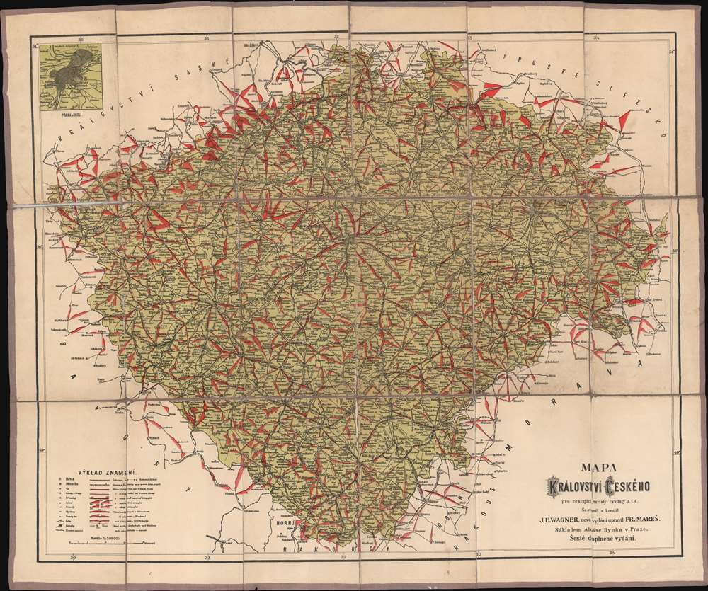
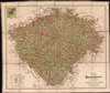
Mapa Království českého pro cestující, turisty, cyklisty a. t. d.
1910 (undated) 25 x 30 in (63.5 x 76.2 cm) 1 : 600000
1910 (undated) 25 x 30 in (63.5 x 76.2 cm) 1 : 600000
Description
A remarkable infographic chromolithograph, this is a c. 1910 Jan Eduard Wagner cycling map of the Czech Republic issued at the height of the European Bicycle Boom. The map focuses on Bohemia, illustrating bicycle routes throughout the region. It employs a remarkable red shading technique to illustrate gradient on hills - note that the north is particularly mountainous! An inset in the upper left details the vicinity of Prague.
Chromolithography
Chromolithography, sometimes called oleography, is a color lithographic technique developed in the mid-19th century. The process involved using multiple lithographic stones, one for each color, to yield a rich composite effect. Oftentimes, the process would start with a black basecoat upon which subsequent colors were layered. Some chromolithographs used 30 or more separate lithographic stones to achieve the desired product. Chromolithograph color could also be effectively blended for even more dramatic results. The process became extremely popular in the late 19th and early 20th centuries, when it emerged as the dominant method of color printing. The vivid color chromolithography produced made it exceptionally effective for advertising and propaganda imagery.Publication History and Census
This map was drawn by Jan Eduard Wagner and published in Prague by Alois Hynek. It is undated, but dates to about 1910. The OCLC notes a single example at the University of Wisconsin.Condition
Very good. Dissected and laid on linen. Some wear and minor splits at some folds.
References
OCLC 947110151.