This item has been sold, but you can get on the Waitlist to be notified if another example becomes available, or purchase a digital scan.
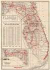
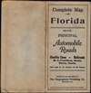
1920 Geographical Publishing Map of Florida Highways
Florida-geographicalpublishing-1920$75.00

Title
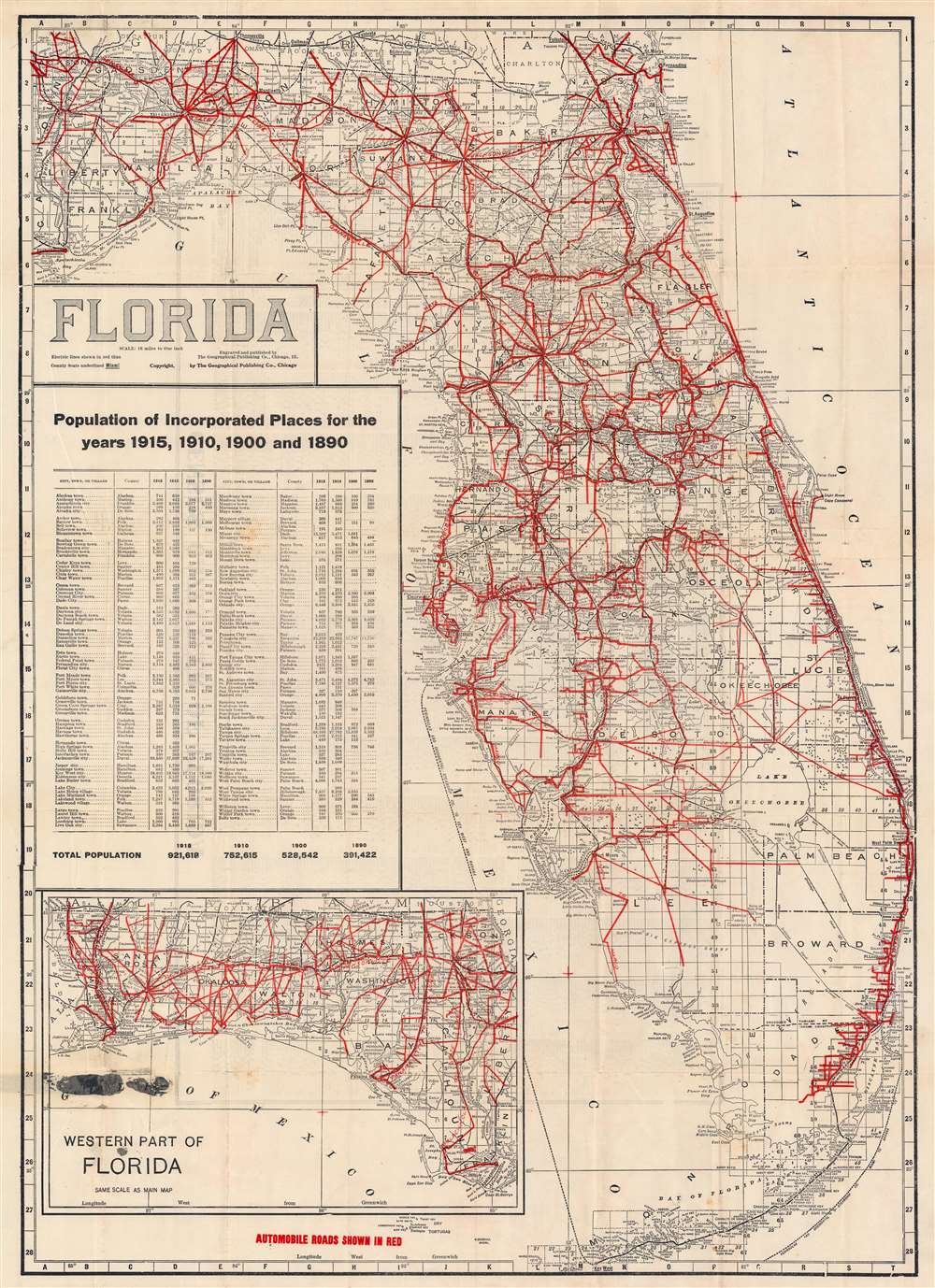
Florida.
1920 (undated) 28.5 x 20.5 in (72.39 x 52.07 cm) 1 : 1013760
1920 (undated) 28.5 x 20.5 in (72.39 x 52.07 cm) 1 : 1013760
Description
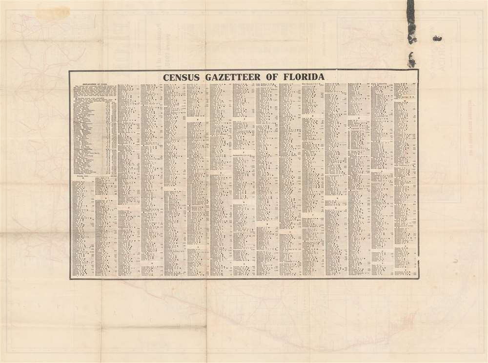
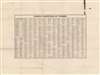
This is a c. 1920 Geographical Publishing Company map of Florida highlighting the highway system. The map covers all of peninsular Florida with the west Florida panhandle appearing as an inset in the lower left. Red highlighting indicates the state's expansive highway system. Census statistics for 1890 through 1915 illustrate the extent to which Florida's population nearly tripled in just 25 years. The verso features an index of towns.
Publication History and Census
This map was published Chicago by the Geographical Publishing Company. The Touchton Map Library at the Tampa Bay history center has an example dated to 1918. On our example the date has been removed, suggesting slightly later issue, but it is unlikely to postdate 1920, when a new census would have been added.Cartographer
Geographical Publishing Company (fl. c. 1893 - 1966) was a Chicago publishing company active from the late 19th through the mid-20th century. The firm focused on economical geographical tests, educational materials, gazetteers, and travel brochures. In the early part of the 20th century the firm was managed by the American geographer and entomologist Eugene Murray-Aaron (1852 - 1941). They ceased publishing operations around 1966. More by this mapmaker...
Condition
Good. Minor wear and verso reinforcement on old fold lines.
References
Tampa Bay History Center, Touchton Map Library, #L2018.087.045. OCLC 1132230675.