
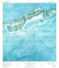
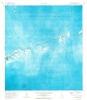
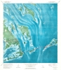
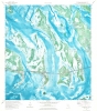
1973 U.S. Geological Survey Maps of the Florida Keys (Set of 6 Contiguous Maps)



This item has been sold.
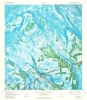
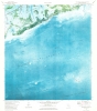
Marathon Quadrangle. Sevenmile Bridge Quadrangle. Big Pine Quadrangle. Summerland Key Quadrangle. Sugarloaf Key Quadrangle. Saddlebunch Keys Quadrangle.
Florida Keys and the Overseas Highway.
Florida Keys and the Overseas Highway.
This is a strikingly beautiful set of 6 1973 U.S. Geological Survey maps of the Florida Keys. Coverage embraces roughly 40 miles of the western keys, from Saddleback No. 5 Channel and Similar Sound near Sugarloaf Key east to Fat Deer Key.A Closer Look
Schools, hospitals, radio towers, coast guard stations, chapels, and other locations are marked. Smaller keys and islands are identified by name, along with channels, shoals, sounds, bights, and other navigational hazards. The Overseas Highway appears on all six sheets, highlighted in red but unlabeled.Publication History and Census
These maps were created and published by the United States Geological Survey in 1973. Four of the six maps appear in OCLC and are all part of the collections at the Jacksonville Public Library, the Hillsborough County Public Library Cooperative, and Florida International University. The Seven Mile Bridge and Sugarloaf Key sheets are not cataloged in OCLC.Cartographer
The United States Geological Survey (1878 - Present), aka the U.S.G.S., is a scientific agency of the United States government, which was founded in 1879. USGS scientists study the landscape of the United States, its natural resources, and the natural hazards that threaten it. The organization has four major science disciplines: biology, geography, geology, and hydrology. It is a bureau of the United States Department of the Interior and is the department's only scientific agency. Further Details...
Condition
Very good. 6 maps on 6 sheets. Some light toning to Sugarloaf Key sheet.
References
OCLC 719369427, 630165676, 747251450, 746849996. Sevenmile Bridge and Sugarloaf Key not on OCLC.