1970 Florida Keys Printing and Publishing City Plan or Map of Key West, Florida
KeyWest-floridakeysprinting-1970$250.00
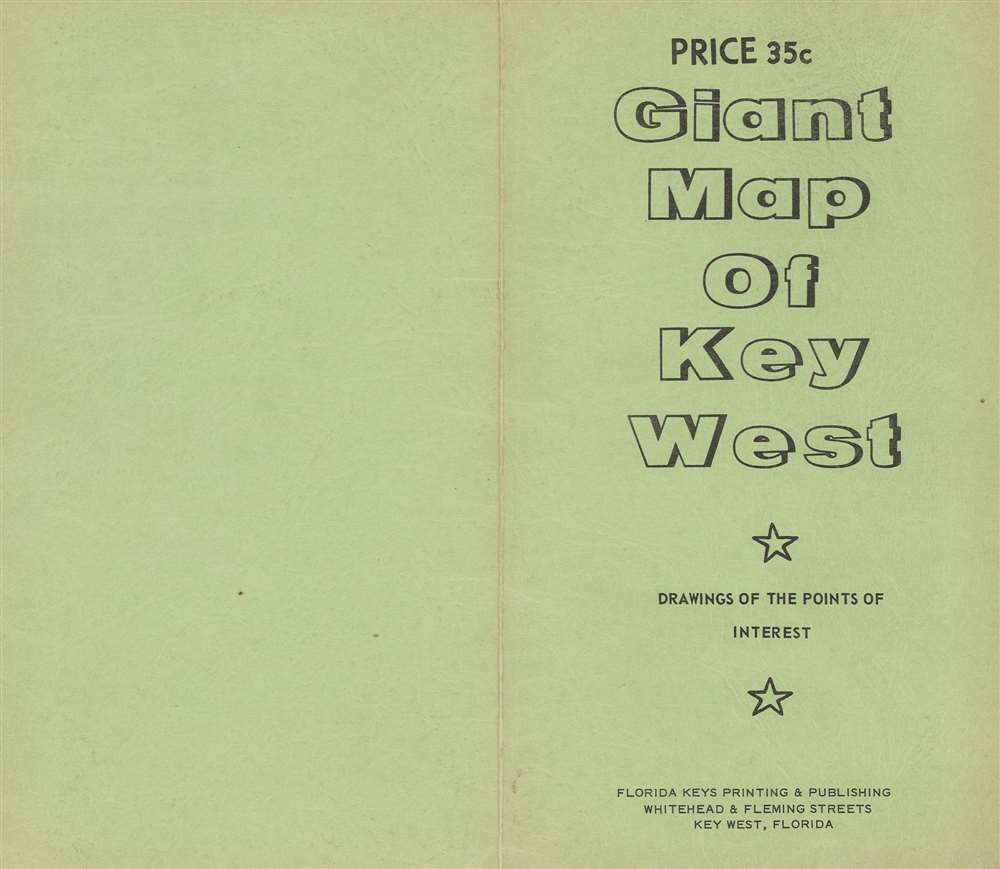

Title
Key West.
1970 (undated) 14.25 x 21.75 in (36.195 x 55.245 cm) 1 : 12672
1970 (undated) 14.25 x 21.75 in (36.195 x 55.245 cm) 1 : 12672
Description
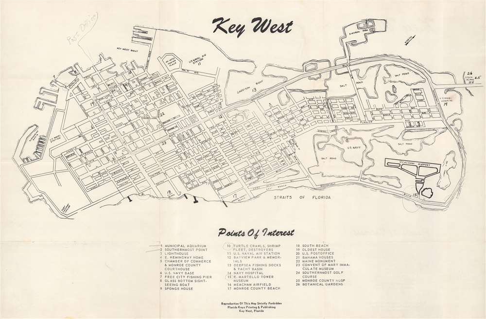
This is a c. 1970 Florida Keys Printing and Publishing city plan or map of Key West, Florida. The U.S. Naval Air Station, the U.S. Naval submarine basin, Fort Zachary Taylor, City Beach, and Monroe County Beach are labeled. Twenty-six points of interest are numerically marked, including Ernest Hemingway's house, the municipal aquarium, Meacham Airfield, and the Botanical Gardens, and correspond with an index situated below the map. Streets throughout Key West are illustrated and identified.
Publication History and Census
This map was created and published by Florida Keys Printing and Publishing c. 1970. We note one other cataloged example, which is part of the collection of the Touchton Map Library at the Tampa Bay History Center.Condition
Very good. Small areas of infill where once attached to original binder.
References
Tampa Bay History Center Touchton Map Library M1739a.