This item has been sold, but you can get on the Waitlist to be notified if another example becomes available, or purchase a digital scan.
1941 Hammack Pictorial Map of Coastal British Columbia, (Vancouver) Canada
MalibuClubCanada-hammack-1941$175.00

Title
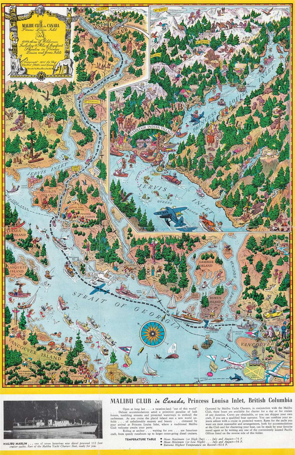
Malibu Club in Canada Princess Louisa Inlet.
1941 (dated) 18 x 11.75 in (45.72 x 29.845 cm)
1941 (dated) 18 x 11.75 in (45.72 x 29.845 cm)
Description
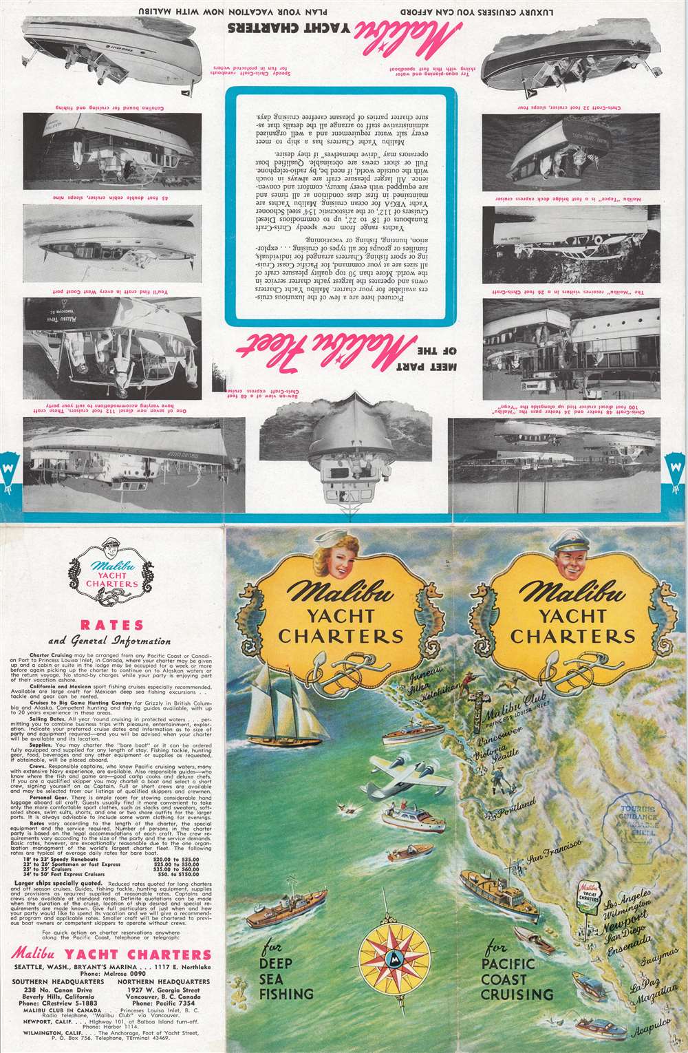
This is a 1945 Edwin S. Hammack pictorial map of coastal British Columbia. Created to promote the Malibu Club in Canada, the map depicts from Vancouver north along the Strait of Georgia and Jervis Inlet to Princess Louisa Inlet. Cartoonish illustrations appear throughout and highlight locals and tourists enjoying the wonders of Vancouver Island and the Strait of Georgia. Vancouver appears in the lower right corner. Numerous smaller islands, including Gambier Island, Bowen Island, Anvil Island, Texada Island, and Nelson Island are all labeled. An inset in the upper right focuses on Princess Louisa Inlet and the Malibu Club. Vacationers frolic in in the inlet, hunt and hike in the surrounding forest, and ski. Information about the club and a photograph of one of its charter yachts, appears along the bottom border.
The Malibu Club in Canada
Bill Boeing (the aircraft manufacturer) vacationed in British Columbia with Seattle industrialist Tom Hamilton in 1938. While cruising in their yachts, Boeing introduced Hamilton to Princess Louisa Inlet. Hamilton's wife immediately fell in love with a small island in the inlet. Two years later, Hamilton bought the island, and what had started as a family retreat became a sweeping vision for a retreat of the rich and famous. He bought all the surrounding land (with a small exception) in 1941 and began his project. This resort became the Malibu Club. Hamilton spent nearly a million dollars (then a lot) building the club, with its affiliated fleet of charter yachts and aircraft. The club prospered over the next few years. However, Hamilton abandoned the project in 1950 for unknown reasons. Two years later, in 1952, Jim Rayburn, the founder of Young Life, visited the former Malibu Club. He saw its potential as camp for young people, and so bought the property. Today, Young Life still operates a camp there.Publication History and Census
This map was drawn Edwin Selleck Hammack and published by John D. Roche, Inc. in 1941. This map is not cataloged in OCLC. This is the only known surviving example.Cartographer
Edwin Selleck Hammack (September 28, 1905 - January 10, 1969) was an American artist and illustrator. Born in San Diego, California, Hammack worked for John D. Roche, Inc. in Los Angeles in 1940 and 1941. He provided illustrations for numerous books, several of which were written my Lucius Beebe and Charles Clegg. Hammack distinguished himself as a specialist in creating art of the old West. He married Dorothy Ellen Graham on March 18, 1925. More by this mapmaker...
Condition
Very good. Exhibits light wear along original fold lines. Verso repairs to fold separations. Text and printed images on verso.