1920 Macfarlane Map of Montreal
Montreal-macfarlane-1920$400.00

Title
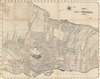
MacFarlane's map of Montreal Que. and suburbs with street index.
1920 (undated) 22 x 28 in (55.88 x 71.12 cm) 1 : 31000
1920 (undated) 22 x 28 in (55.88 x 71.12 cm) 1 : 31000
Description
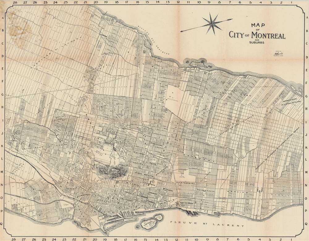
This is a highly functional c. 1920 bilingual city plan or map of Montreal produced by W. G. MacFarlane and E. P. J. Courval. It illustrates the city and surrounding communities on the tail end of decades of industrial and infrastructural development, resulting in the Montreal of today.
Dashed lines trace the routes of streetcars and railways. Train stations present here include Windsor Station, the headquarters of the Canadian Pacific Railway, and the Place Viger, a grand combination train station and hotel that in 1898 overtook nearby Dalhousie Station (not noted here), the original eastern terminus for the Canadian Pacific. Also included is the Tunnel Terminal of the Canadian Northern Railway, which began operating in Montreal in 1908, then constructed one of the longest tunnels in Canada and opened the Tunnel Terminal in 1918. The company soon fell into serious financial distress, in part because of the cost of constructing the tunnel, and was merged in the 1923 formation of the Canadian National Railway.
A Closer Look
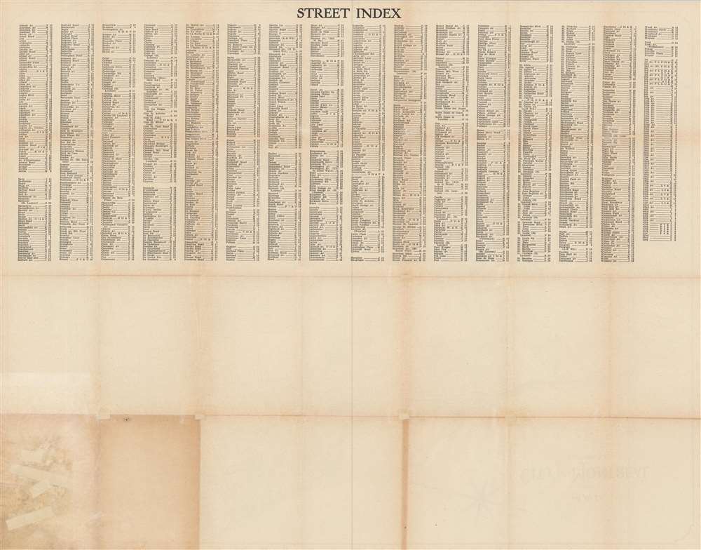
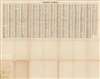
This map is oriented towards the west-northwest, depicting the middle section of the large Island of Montreal. It is surrounded by an alphanumeric grid corresponding to an index of street names on the verso, allowing for the fast location of any street. The Prairies River and St. Lawrence flow to the west and east of the city, respectively, while the important Lachine Canal cuts a path at bottom-left, bypassing the dangerous Lachine Rapids.Dashed lines trace the routes of streetcars and railways. Train stations present here include Windsor Station, the headquarters of the Canadian Pacific Railway, and the Place Viger, a grand combination train station and hotel that in 1898 overtook nearby Dalhousie Station (not noted here), the original eastern terminus for the Canadian Pacific. Also included is the Tunnel Terminal of the Canadian Northern Railway, which began operating in Montreal in 1908, then constructed one of the longest tunnels in Canada and opened the Tunnel Terminal in 1918. The company soon fell into serious financial distress, in part because of the cost of constructing the tunnel, and was merged in the 1923 formation of the Canadian National Railway.
Historical Context
Montreal grew quickly from the mid-19th century with the construction of the Lachine Canal and increased immigration (mostly Anglophone). It lost its status as the capital of United Province of Canada to Toronto when rioters burned the provincial capitol building down in 1849. Still, the city continued to grow and industrialize, aided by the canal, railways, and its role as an inland port. In the process, the city's 'center of gravity' shifted to the northwest to Dominion Square (now Dorchester Square). Around the time of this map's publication, Montreal's population passed 500,000.Publication History and Census
This map is attributed to W. G. MacFarlane, while E. P. J. Courval ('Dessinateur en chef') is credited with its compilation. It was printed by the American Autochrome Company. The map is undated, but the presence of the C.N.R. Tunnel Terminal suggests a date later than 1918, while the lack of Montreal Central Station (Gare Centrale) indicates a date earlier than 1943. The map is listed twice in the OCLC with a wide variance in dates, but in any event is only included in the collections of three institutions and has no known history on the market.CartographerS
William Godsoe MacFarlane (December 28, 1870 – February 14, 1942) was a Toronto-based publisher of postcards, maps, and souvenir viewbooks. He was raised in Saint John, New Brunswick and began his career with the St. John Sun newspaper. He published works about the local area before pursuing a university education at Acadia University, Columbia, and Harvard. In 1899 or 1900, he began working for Grip, Ltd., occasionally publishing under his own name. In 1905, he bought out the firm and changed its name to W. G. MacFarlane (also often as Wm. G. MacFarlane). In 1907, the company incorporated as The MacFarlane Company with operations in both Canada and the U.S., but it soon fell into financial difficulties and was forced to file for bankruptcy the following year. He appears to have spent much of the following years in the United States working for various publishers before founding a new publishing operation in Toronto in 1938. More by this mapmaker...
American Autochrome Co. (fl. c. 1905 – 1940) was a publisher of souvenir photo books and maps with offices in Toronto and Chicago. The company collaborated frequently with W.G. MacFarlane, who may have also worked for American Autochrome after his own firm went bankrupt in 1908. Learn More...
Condition
Good. Discoloration along fold lines and at top-left.
References
OCLC 82940861, 49099599.