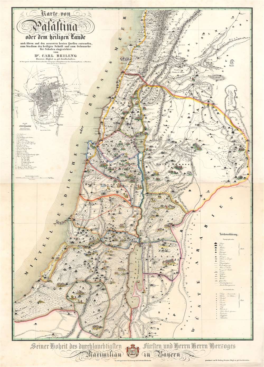
1843 Beiling Map of Palestine or the Holy Land
Palastina-beiling-1843$1,800.00

Title
Karte von Palästina oder dem heiligen Lande.
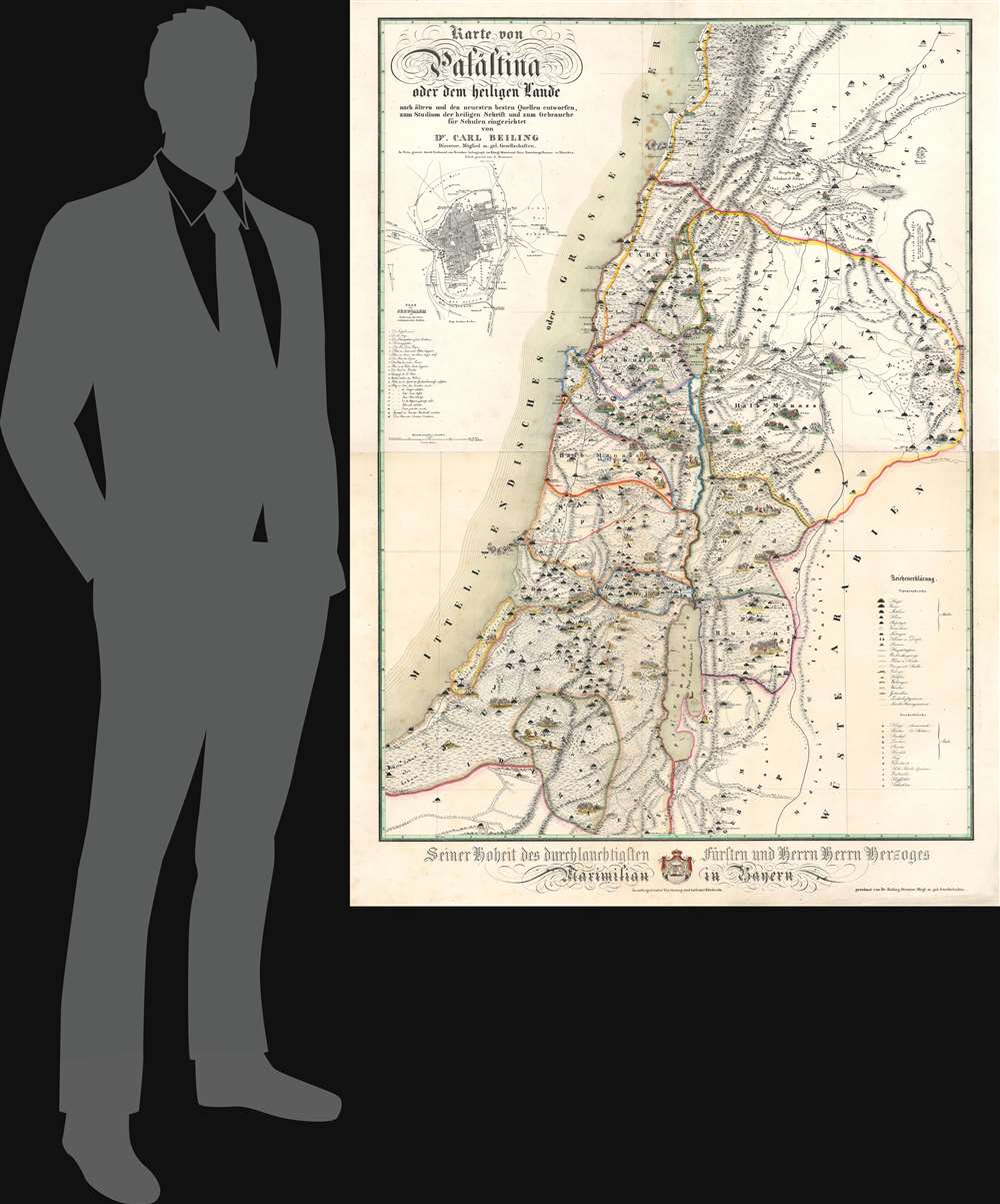
1843 (undated) 52 x 37.25 in (132.08 x 94.615 cm) 1 : 320000
1843 (undated) 52 x 37.25 in (132.08 x 94.615 cm) 1 : 320000
Description
This is an 1843 Carl Beiling map of Palestine or the Holy Land. The richly illustrated and colorful map was designed as a didactic tool, connecting Biblical events pictorially with modern geography.
A Closer Look
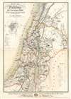
Coverage embraces the Mediterranean coast from Byblos south to the Sinai, with extraordinary vignettes of Biblical events peppering the sheet. These beautifully colored scenes (two of which illustrate the story of Jonah and the Whale, although the whale is unlike any we've ever seen) visually connect Biblical events with modern geography. Many bear references to the Bible book, chapter, and verse. The ancient territories of the twelve tribes of Israel are also outlined in color. A key on the lower right details the symbols used to denote the size of cities. An inset of the Old City of Jerusalem is situated on the upper left. The Temple Mount, the Dome of the Rock, and Al-Aqsa Mosque are identified.Publication History and Census
This map was created in 1843 by Carl Beiling, drawn by J. Lacroix, engraved by A. Krämmer, and lithographed by Ferdinand von Harscher. Four examples are cataloged in OCLC: the University Library in Eichstätt, Germany; the Bavarian State Library in Munich, Germany; the University Library in Munich; and the State and City Library of Augsburg, Germany. We are aware of two other instances when this map appeared on the private market.Condition
Very good. Two sheets joined and mounted on linen. Lower sheet exhibits more toning that upper sheet. Light foxing.
References
Rohricht, R. Bibliotheca geographica Palaestinae, 461. OCLC 164842342.