This item has been sold, but you can get on the Waitlist to be notified if another example becomes available, or purchase a digital scan.
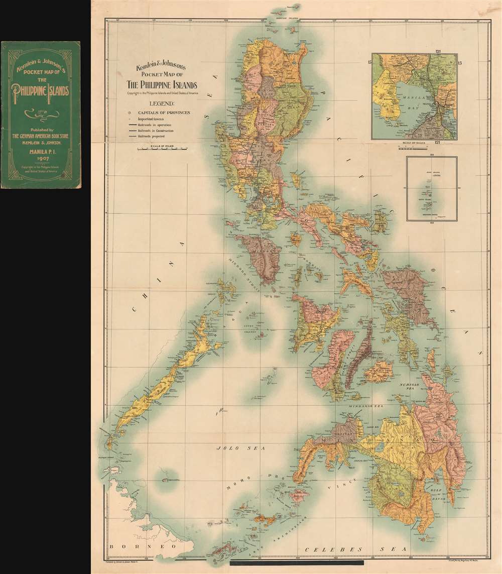
1907 Kemlien and Johnson Pocket Map of the Philippines (Philippine Islands)
Philippines2-kemleinjohnson-1907
Title
1907 (dated) 31 x 23 in (78.74 x 58.42 cm) 1 : 2217600
Description
The map was engraved and printed by R. Montes Magallanes in Manila. There are copyright entries for the map both in the United States and the Philippines. The U.S. Copyright was filed on August 26, 1907 by George L. Johnson.
This map is rare with no known holdings of the 1907 first edition, as seen here. A second edition appears to have been issued in 1915 and is slightly more common, with holdings at 2 institutions.
Cartographer
Kemlein and Johnson (fl. c. 1906 - c. 1928) were a German-American bookstore and publisher active in Manila during the first half of the 19th century. The firm was founded by George L. Johnson (1879 - November 17, 1945) and H. Kemlein and located at 64-66, Escolta, Manlia.. It is likely that both individuals were American soldiers who remained in the Philippines following the American takeover in 1899. Johnson may have been a prisoner of war during the Japanese occupation of the Philippines during World War II. In addition to selling books in German and English, the bookstore also issued postcards and maps of Manila and the Philippines, as well as a Philippines guidebook. More by this mapmaker...

