This item has been sold, but you can get on the Waitlist to be notified if another example becomes available, or purchase a digital scan.
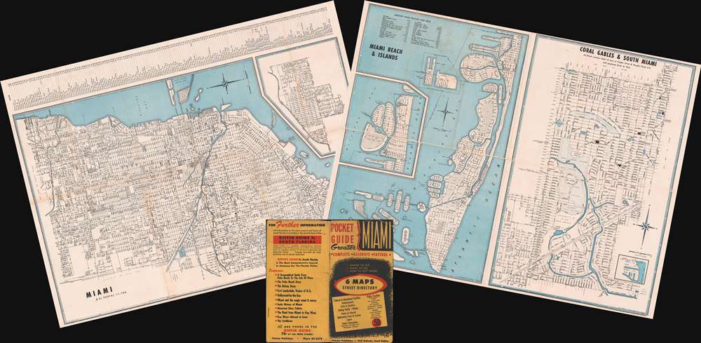
1953 Rader Engineering Maps of Miami, Coral Gables, and Miami Beach, Florida.
PocketGuideMiami-rader-1953$87.50

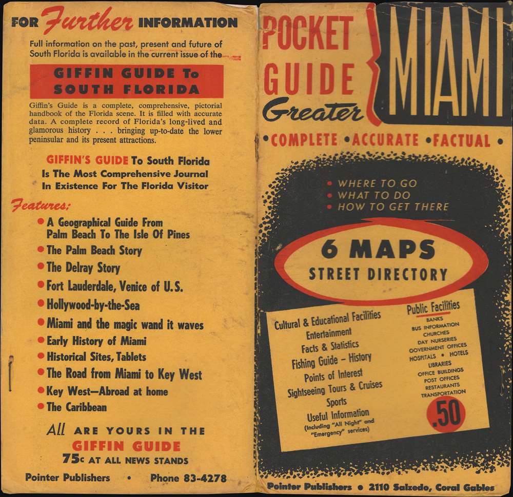


Title
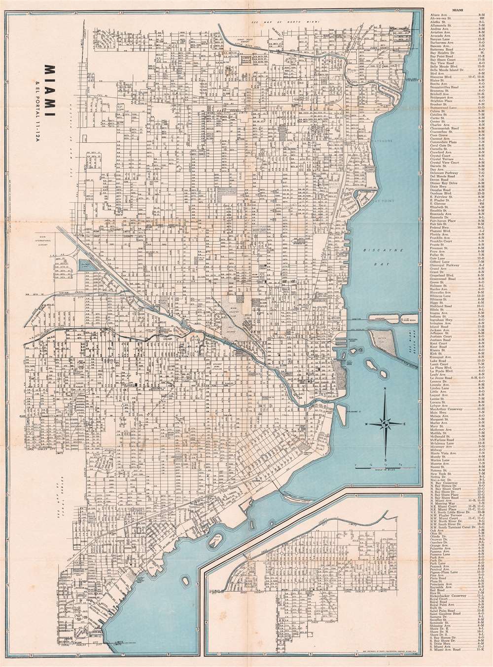
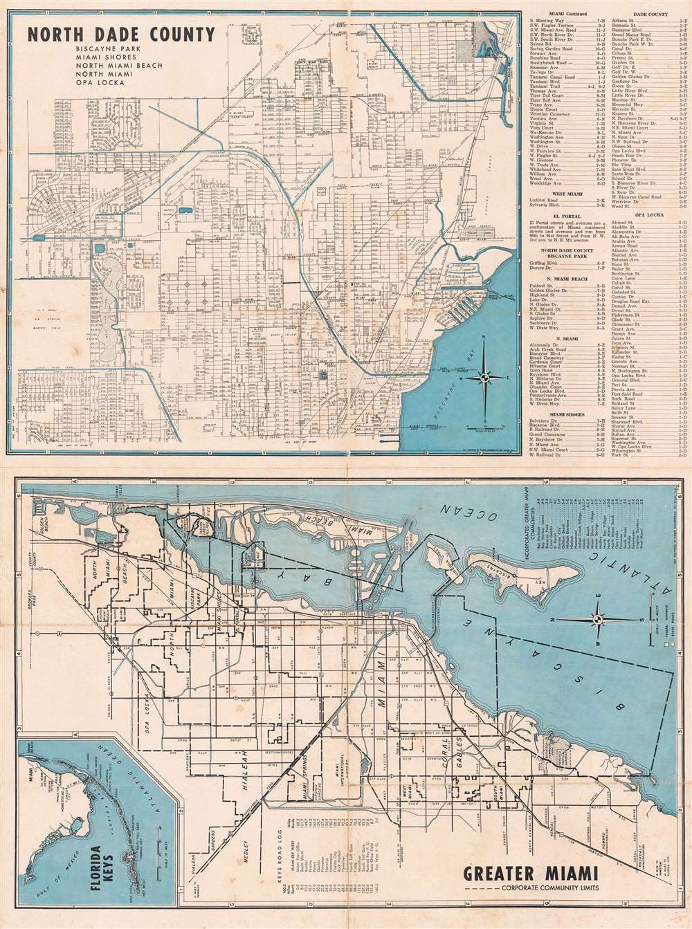
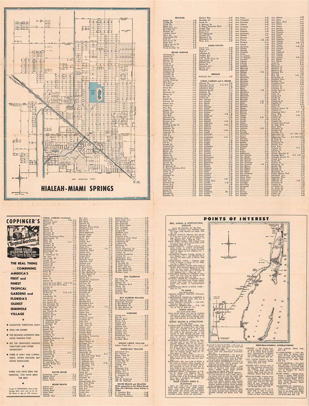
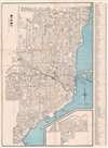
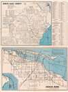
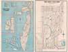
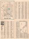
Miami Beach and Islands. / Coral Gables and South Miami. / Hialeah - Miami Springs. / Miami and El Portal. / North Dade County. / Greater Miami - Corporate Community Limits.
1953 (undated) 18.625 x 24.5 in (47.3075 x 62.23 cm)
1953 (undated) 18.625 x 24.5 in (47.3075 x 62.23 cm)
Description
This is a set of two double-sided c. 1953 Rader Engineering Company city plans or maps of Miami, Florida, and vicinity. In total, the maps and insets, printed on two sides, cover Miami and El Portal, North Dade County, Greater Miami, Miami Beach and Islands, Coral Gables and South Miami, Hialeah - Miami Spring, and coastal Florida from North Miami Beach south to Florida City and Homestead Bayfront park. Miami and El Portal appear on one side of the first sheet and North Dade County and Greater Miami appear on the reverse. Coral Gables and South Miami and Miami Beach and Islands appear on one side of the second sheet and Hialeah-Miami Springs appears on the reverse. Each map identifies streets, avenues, and parks, among other locations. The Miami River and Miami Canal appear on the map of Miami and El Portal. Detailed indexes are included on three of the four sheets, some of which are divided by city.
Publication History
These maps were created by the Rader Engineering Company c. 1953 and published in the Pocket Guide to Greater Miami. Uncommon.Cartographer
Earle Morton Rader (November 6, 1899 - February 4, 1989) was an American engineer. Born in St. Augustine, Florida, and the son oaf a Methodist preacher, Rader's family moved to Miami before he was a year old. He attended the Trial-State College of Engineering in Indiana and graduated in 1921. After graduating, he worked in Montana and then Missouri designing roads and highways. In 1924, he returned to Miami and became the City Engineer. He held that position until 1940, when he resigned to become a consultant. In 1942, however, he became county engineer, after Dade County began building the Rickenbacker Causeway. Rader left the county engineering job in 1948 and founded his own firm, Rader Engineering, which would later be known as Rader and Associates. While the firm was in operation, it designed modern shipping facilities for the port of Manila, highways in Ecuador and Panama, launch pads at Cape Canaveral, city water systems in Paraguay and Costa Rica, and a pipeline and water reservoir in the Florida Keys. The firm went bankrupt in 1977 for unknown reasons. More by this mapmaker...
Condition
Good. Both maps exhibit wear and toning along original fold lines and some light soiling. One map bears a verso repair to a fold separation in the margin.