This item has been sold, but you can get on the Waitlist to be notified if another example becomes available, or purchase a digital scan.
1890 Relief Map of Michigan
ReliefMichigan-anonymous-1890$87.50

Title
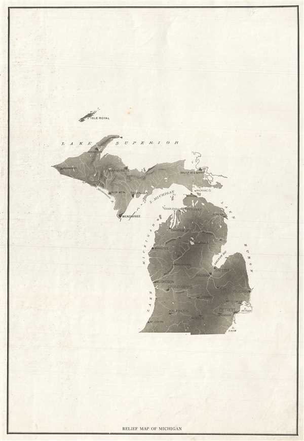
Relief Map of Michigan.
1890 (undated) 19.5 x 13.5 in (49.53 x 34.29 cm) 1 : 2750000
1890 (undated) 19.5 x 13.5 in (49.53 x 34.29 cm) 1 : 2750000
Description
This is an appealing c.1890 map of Michigan. Covers the entire state. Presented in black and white, the map notes important towns and rivers. Issued primarily as a relief map, Lakes Michigan and Superior are labeled but boundaries are not shown. Isle Royal is included. This map was issued in c.1890 as part of a series of relief maps.
Condition
Very good. Minor spotting and edge wear.