1932 Hughes Map of Southern Rhodesia (Zimbabwe)
SouthernRhodesia-hughes-1932$800.00


Title
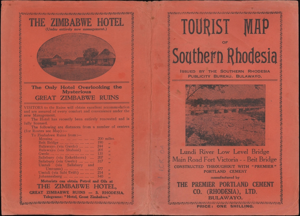
Tourist map of Southern Rhodesia. Map Compiled and Issued by Southern Rhodesia Publicity Bureau.
1932 (dated) 29.5 x 39.5 in (74.93 x 100.33 cm) 1 : 1267200
1932 (dated) 29.5 x 39.5 in (74.93 x 100.33 cm) 1 : 1267200
Description
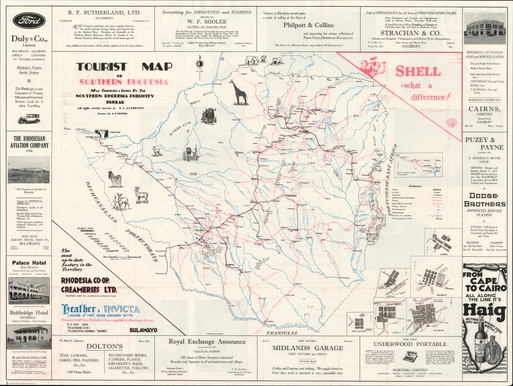
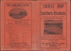
A large and rare pictorial map of Southern Rhodesia (now Zimbabwe), drawn by L. F. Hughes and issued in 1932 by the colony's Publicity Bureau. It focuses on tourist attractions and the colony's improving road network.
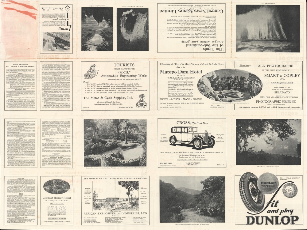
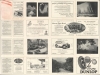
Advertisements surround the map and take up most of the sheet on the verso. Many of these are for automobiles and related products and services, such as tires and mechanics, though a section providing information about the colony points out that some roads should not be braved in the wet months, recommending trains instead. Additional information is provided on immigration and customs procedures, hunting regulations, and more, as well as similar information for surrounding territories. The verso also includes photographs of sites from throughout the country.
A Closer Look
Covering the entire colony, the map highlights its growing road network, wildlife, and tourist attractions, especially Victoria Falls, at left. Bulawayo, the colony's industrial and commercial center, sits towards bottom-left, while Salisbury (Harare), its political capital, can be seen towards top-right. A legend at right also notes symbols and lines used for railways, rivers, mountains, petrol stations, and more. At right, an inset map displays road and rail connections to Beira (Portuguese East Africa, or Mozambique), while plans of the colony's major cities appear at bottom-right.Advertisements surround the map and take up most of the sheet on the verso. Many of these are for automobiles and related products and services, such as tires and mechanics, though a section providing information about the colony points out that some roads should not be braved in the wet months, recommending trains instead. Additional information is provided on immigration and customs procedures, hunting regulations, and more, as well as similar information for surrounding territories. The verso also includes photographs of sites from throughout the country.
Publication History and Census
This map was drawn by L. F. Hughes, printed (lithographed) by Hortors Limited, and published in 1932 by E. C. Alderson for the Publicity Bureau of Southern Rhodesia. The OCLC notes three examples, held by Oxford University, Michigan State University, and the National Library of South Africa, and it has no known history on the market.Condition
Very good. Creasing, wear, and light foxing along fold lines. Areas of loss in corners at right.
References
OCLC 77071771, 1017153773.