
This item below is out of stock, but another example (left) is available. To view the available item, click "Details."
Details
1980 Henry Hird Map of St. Augustine, Florida
1980 (dated) $350.00
1985 Hird Map of St. Augustine, Florida
StAugustine-hird-1985$112.50


Title
St. Augustine.
1985 (dated) 11 x 16.5 in (27.94 x 41.91 cm) 1 : 30000
1985 (dated) 11 x 16.5 in (27.94 x 41.91 cm) 1 : 30000
Description
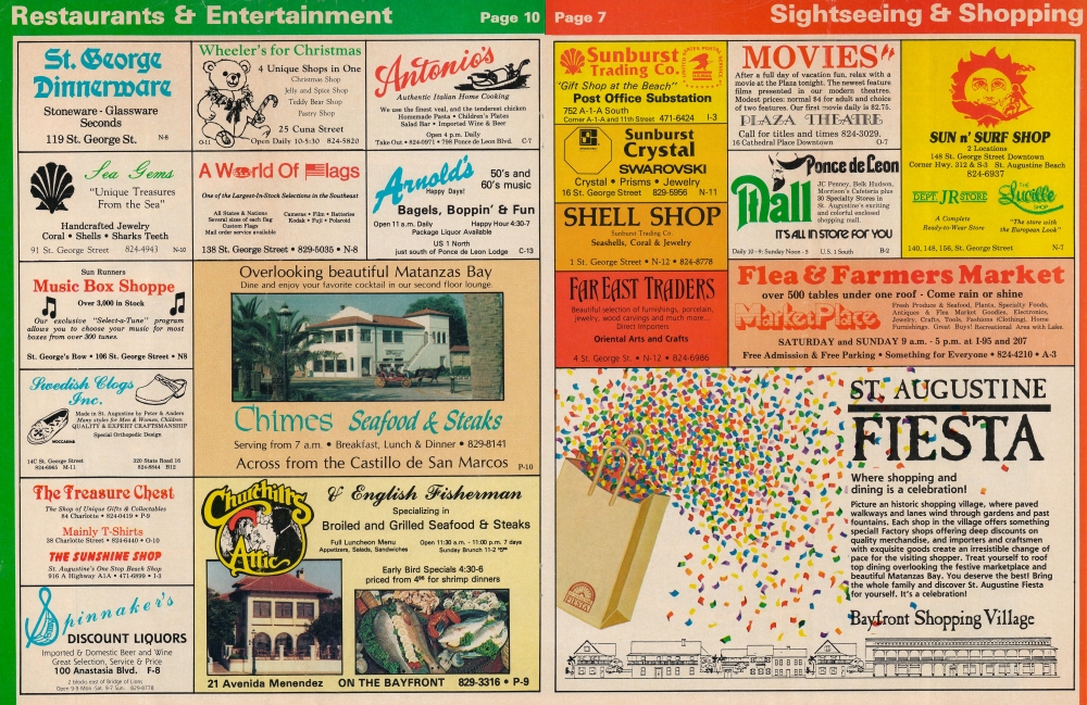
A colorful 1985 Henry Hird tourist map of St. Augustine, Florida. The map combines historical references and useful information with advertisements for local businesses.
A Closer Look
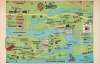
Oriented towards the west, this map depicts the broader region around St. Augustine's historic downtown, highlighting local businesses and roads, with connections to major roads and highways, waterways, parks, entertainment venues (including an alligator farm!), and important historical sites, which are accompanied by explanatory text (containing a typo - 1965 should be 1565 - in the case of 'La Leche Shrine'). An inset at left displays a continuation of the A1A South and Marineland, a groundbreaking oceanarium or marine attraction that established a model copied elsewhere in Florida and beyond many times since. The verso includes additional advertisements for local shops, restaurants, and attractions, which are tagged with coordinates corresponding to a grid in the border of the map on the recto.Publication History and Census
This map was drawn and published by Henry E. Hird III, a local illustrator, in 1985. It pairs with Hird's 'Sightseeing Map of St, Augustine' focusing on the historic downtown portion of St. Augustine, also published in 1985. The page numbers referred to suggest that both were part of a larger guide or brochure. Neither map is not known to be held by any institution.Cartographer
Henry E. Hird III (f. c. 1979 - 2014) was a Florida-based illustrator, photographer, publisher (via his Atlantique Press), and author, best known for his tourist maps of St. Augustine, Florida. He also published postcards of St. Augustine, authored the books Handbook of 50 Pirates and The Complete Guide to St. Augustine, designed and edited the Official Gettysburg National Park Handbook,' and produced drawings for a 2014 exhibit at the St. Augustine Visitor Information Center titled Journey: 450 Years of the African-American Experience, dealing with the history of local African-American communities. More by this mapmaker...
Condition
Very good.