
This item below is out of stock, but another example (left) is available. To view the available item, click "Details."
Details
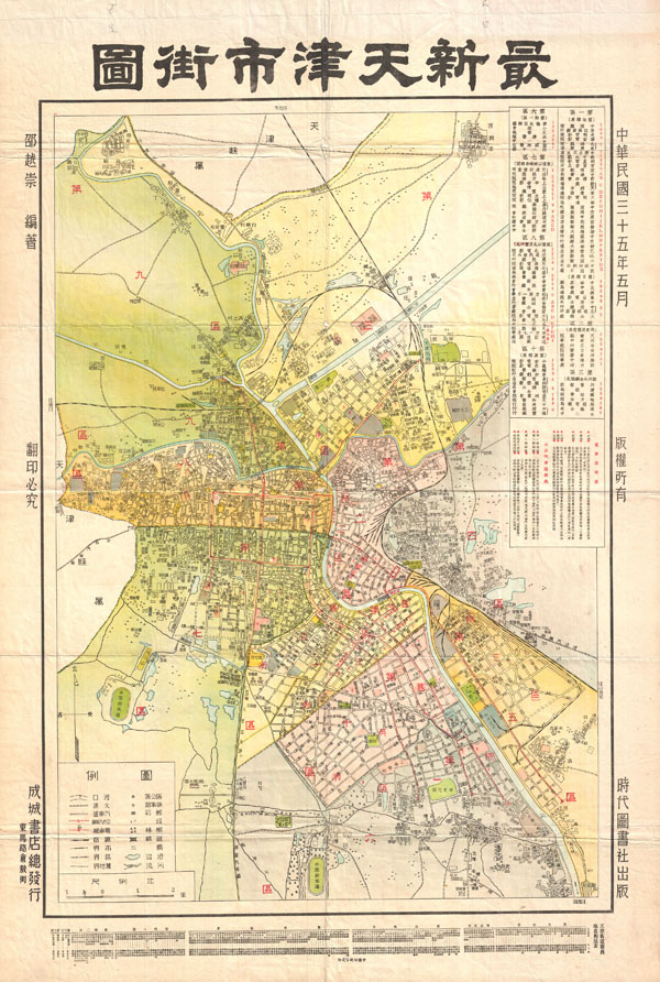
1913 Crow City Map or Plan of Tianjin / Tientsin, China
1921 (undated) $220.00
1932 Chinese Map of Tientsin (Tianjin or Tienjin), China
Tienjin-showa7-1932$200.00

Title
Tientsin.
1932 (dated) 29 x 20 in (73.66 x 50.8 cm)
1932 (dated) 29 x 20 in (73.66 x 50.8 cm)
Description
A highly uncommon map of Tianjin (Chinese: ??; pinyin: Tianjin; Wade-Giles: T'ien-chin; [t?i??n?? t??in??]; Postal map spelling: Tientsin), China dating to 1932. Tientsin was a major trading center in Northern China and, like Shanghai, had administrative concessions to several foreign nations including England, Italy, France, Austria-Hungary, Belgium, Japan, Germany and Russia. Curiously none of the foreign concessions are noted on this map, suggesting it was issued by an isolationist anti-trade element. It does however identify streets, rail lines, administrative buildings, parks, and public centers. All text in Chinese.
Condition
Very good condition. Original fold lines.