1903 Scarborough Company Map of Eastern United States w/Cuba
UnitedStates-scarborough-1903$950.00


Title
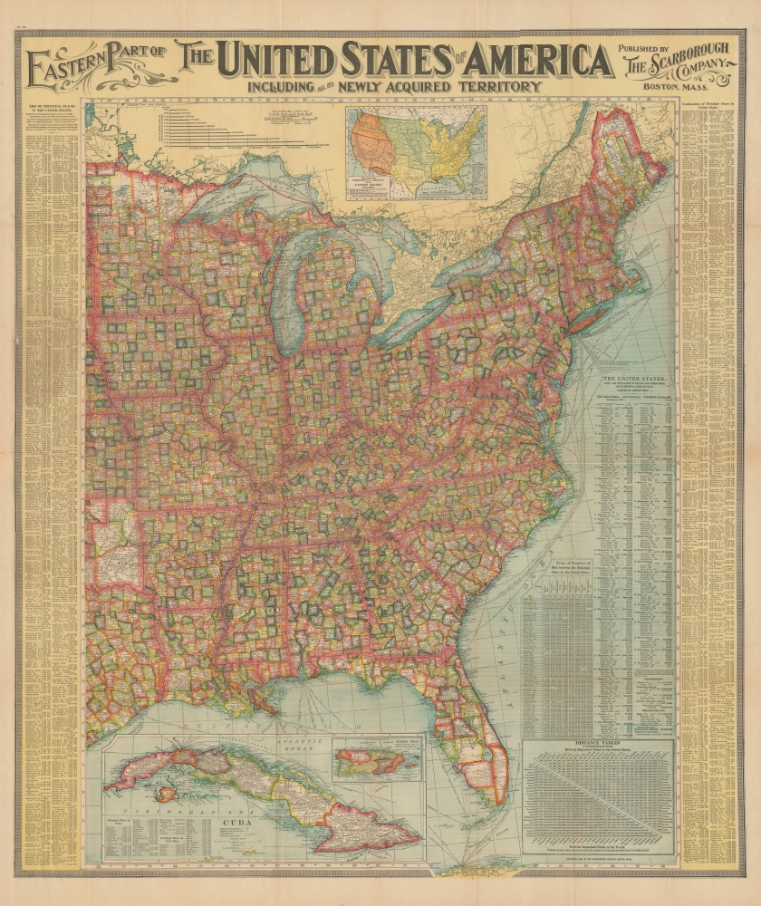
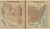
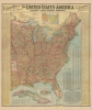
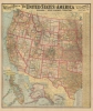
Eastern Part of The United States of America including all the Newly Acquired Territory.
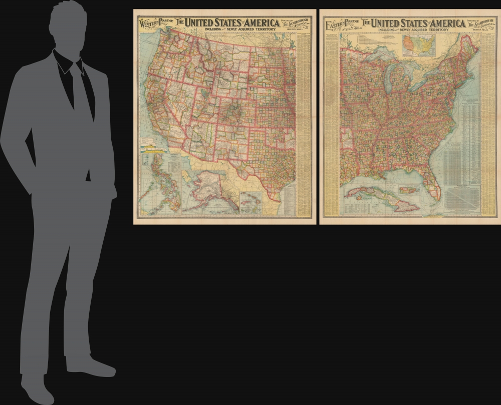
1903 (dated) 41 x 35 in (104.14 x 88.9 cm) 1 : 3294720
1903 (dated) 41 x 35 in (104.14 x 88.9 cm) 1 : 3294720
Description
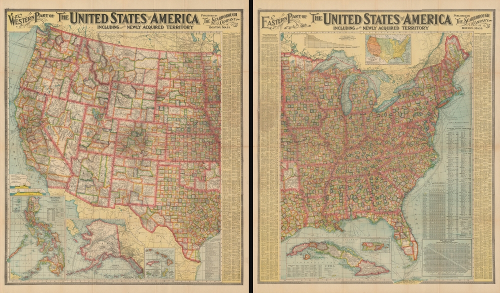
This is a large and colorful 1903 two-section map of the United States by the Scarborough Company. Scarborough maps became popular in the early 19th century due to their impressive size, high quality, and striking typography. It was issued in the wake of the Spanish-American War and took advantage America's fascination with its new colonies. It also appeared just months after Cuba became independent.
A Closer Look - Western Sheet
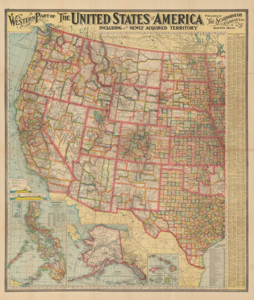
This large-scale map covers the United States westward from North Dakota, South Dakota, Nebraska, Kansas, Oklahoma, and Texas and includes parts of Minnesota, Iowa, and Missouri. This detailed map notes towns, villages, and cities throughout along with individually color-coded counties by state. Rivers, railroads, shipping routes, lakes, mountains, and a host of additional topographical features are also noted. Three insets detail the Philippine Islands, Alaska with the Aleutians, and the Hawaiian Islands.A Closer Look - Eastern Sheet
This pocket map covers the United States east of Minnesota, Iowa, Missouri, Arkansas, and Louisiana, including parts of Nebraska, Kansas, Oklahoma, and Texas. Towns, villages, and cities are noted throughout along with individually color-coded counties by state. Rivers, railroads, shipping lines, lakes (including the Great Lakes), mountains, and a host of additional topographical features are also noted. A large inset of Cuba and another inset of Puerto Rico (Porto Rico) are included in the lower left quadrant of the map. Another inset showing the territorial growth of the United States from 1776 - 1902 is included under the title.Our Colonies
As a result of the Spanish-American War of 1898, Spain ceded the Philippine Islands, Cuba, Puerto Rico, and Guam. The Philippines remained an unincorporated territory of the United States until its independence was formally recognized in 1946. The United States purchased the 'Department of Alaska' from the Russians in 1867 and was organized as the Alaska Territory from 1884 to 1912. It was admitted to the Union as a state in 1959. Puerto Rico and Guam remain U.S. territories. Cuba formally gained independence in 1902, just a few months prior to the printing of this map.Other Features
An index of the principal places in the United States is features along the right border of the map. The bottom right quadrant lists the principal railroad systems of the United States, showing mileage of each system. Two profiles of sections along the Panama Canal and the Nicaragua Canal are also included. While work on the Panama Canal would begin in 1880 and be completed in 1914, the proposed Nicaragua Canal to this date remains to be built, having been superseded by the Panama Canal.Publication History and Census
This map was published in 1903 by the Scarborough Company, Boston, MA. It is based on an earlier map first issued by the National Publishing Company in 1901. Scarborough acquired National Publishing late in 1902, leading to the issue of this updated map with the Scarborough imprint in 1903. Well represented in institutions but increasingly scarce on the market.Cartographer
Scarborough Company (1885 - 1913) was founded by the brothers Walter C. Scarborough (June 4, 1862 - May 9, 1904) and Howard G. Scarborough (December 23, 1867 - June 10, 1905). Walter, the older brother, was born in Providence, Rhode Island, and studied at the Boston University Law School. The Scarborough brothers founded their map publishing concern in 1885. Initially, there were three separate firms: the National Publishing Company (Portland, Maine, 1897), later based in Boston; the Dominion Publishing Company, based in Canada; and the Scarborough Publishing Company, based in London. These three firms each published semi-independently but were merged with a capital of 1,000,000 USD in 1902, subsequently publishing under the Scarborough imprint. Howard took over full management of the Scarborough in 1904 when Walter died. Howard was also in poor health, suffering from tuberculous, and relocated to Europe in 1900, where he lived in a sanatorium. He returned to the United States in 1902, settling first in Asheville, North Carolina, then at a sanatorium community in Oracle, Arizona. Until his death, he managed the Scarborough Company remotely. From about 1904, there was another branch of the firm located at 227 East Ohio Street in Indianapolis, Indiana. After Howard's 1905 death, the management of the firm, as well as its principal manufacturing and distribution points, was relocated to Indianapolis. In 1913, it became the Scarborough Motor Guide Company (c. 1913 - c. 1933). More by this mapmaker...
Condition
Very good. Minor wear along original fold lines. Slight wear along right index, where map was attached to binder. Verso reinforcement on most fold intersections. Two sheets.
References
OCLC 49946674.