1920 Clason Road and Rail Guide Map of Washington State
Washington-clason-1920$400.00

Title
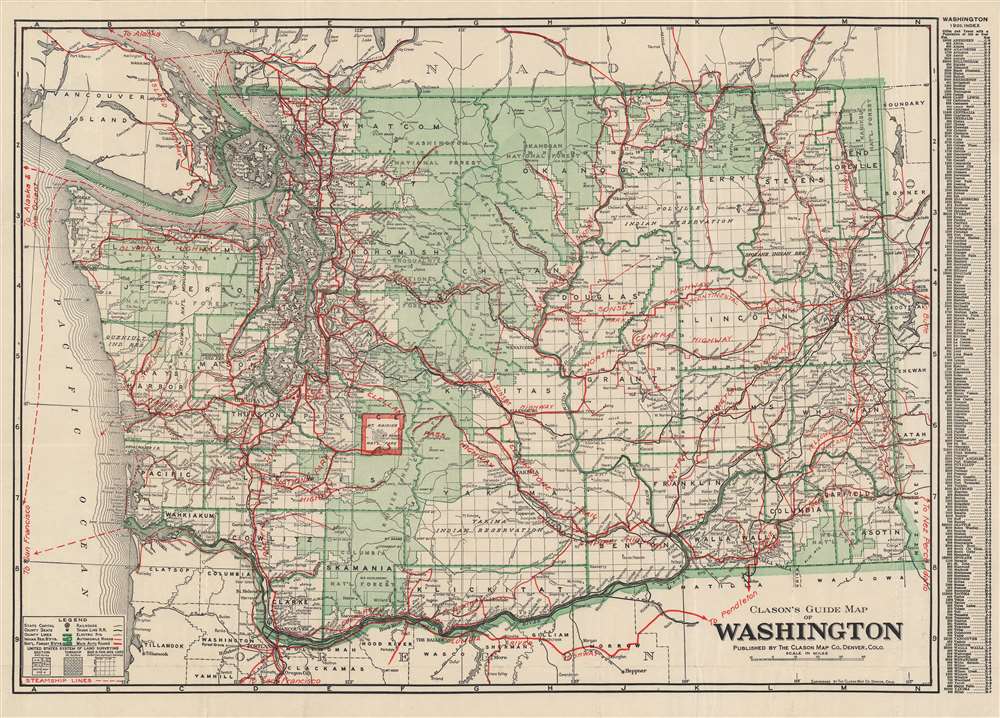
Clason's guide map of Washington.
1920 (undated) 16 x 22 in (40.64 x 55.88 cm) 1 : 1160000
1920 (undated) 16 x 22 in (40.64 x 55.88 cm) 1 : 1160000
Description
This is a very nice example of Clason's c. 1920 Washington State road and railway map. It highlights the state's infrastructure, while also showing information on national parks, Indian reservations, and administrative divisions.
A Closer Look
The map includes a grid coordinate system in the margins corresponding to the index of settlements at right to allow for easy location of towns and cities. Dotted and dashed lines represent government surveying measurements, as shown in the legend. Government land (parks, forests) and Indian reservations constitute roughly half of the state's territory. Prominent near center is Mt. Rainier National Park, while other well-known mountains such as Baker (Kulshan), Adams (Klickitat), and Glacier Peak (Takobia) are easily identifiable. Road, rail, and steamship lines are clearly indicated, including connections to neighboring states and Canada, along with maritime connections to Alaska and East Asia.Publication History and Census
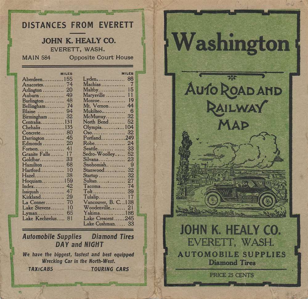
This map very closely resembles Clason's 'Green Guide' for Washington but is an atypical example where the slip-sleeve advertises an automobile parts shop in Everett. The index is dated to 1920, a reference to the population figures in the census of that year, so the map may date from several years afterwards but in any event before 1930. The presentation, title, index, and legend resemble Clason maps of other western states dated to the late 1910s. This map may correspond to OCLC catalog listing 58875729, in which case it is held by five institutions in the United States and is very scarce to the market, with no catalog listings or history on the market matching this example with the aforementioned sleeve.Cartographer
George Samuel Clason (November 7, 1874 - 1957) was born in the city of Louisiana, Missouri in 1874. As a young man, Clason studied at the University of Nebraska before joining the United States Army in 1898 to fight in the Spanish American War. After the war, he moved to Denver, Colorado where in 1905 he founded the Clason Map Company, thus starting his lucrative publishing career. Clason initially focused on mining and mineral maps - capitalizing on the Colorado and Nevada mining industry, but quickly transitioned to railroad maps, city maps, and by the 1920s, road maps. As the company expanded, Clason opened a secondary office in Chicago, Illinois - then a rising map publishing center and railroad hub. At least one other satellite office was opened in Los Angeles. Among his many achievements, Clason is credited with producing the first modern road atlas of the United States. In the late 1920s, Clason also published a series of get-rich-quick pamphlets in the form of parables. The most famous of these is The Richest Man in Babylon. This tells the story of Arkad, a citizen of Babylon famed for his great wealth and generosity who shares his wit and wisdom with his fellow Babylonians. In 1949, Clason moved to Napa, California to retire and found a social club for retired gentlemen. More by this mapmaker...
Condition
Very good. Slight wear along some fold lines. Some creases on the sleeve.
References
OCLC 58875729.