This item has been sold, but you can get on the Waitlist to be notified if another example becomes available, or purchase a digital scan.
1893 Walker Tourist Map of the White Mountains and Central New Hampshire
WhiteMountainsNewHampshire-walker-1893$275.00

Title
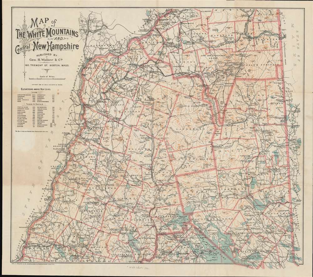
Map of the White Mountains and Central New Hampshire.
1893 (dated) 22.5 x 25 in (57.15 x 63.5 cm) 1 : 200000
1893 (dated) 22.5 x 25 in (57.15 x 63.5 cm) 1 : 200000
Description
This is a scarce 1893 George H. Walker tourist map of the White Mountains and central New Hampshire. Walker depicts the region from Vermont to Maine and from Lancaster to Lake Winnipesaukee. Townships are outlined in orange and identified, along with purchases, grants, and other locations, many of which are still recognized. Some include Thompson and Meserve's Purchase, Sargent's Purchase, and Crawford's Purchase, as well as the Sargent and Elkins Grant, Low and Burbank's Grant, and Green's Grant. Towns are labeled throughout, many of which highlight the presence of post offices and railroad stations. The Maine Central Railroad, the Boston, Concord, and Montreal Railroad and the Concord and Montreal Railroad traverse this area of New Hampshire, allowing for an ease of access into the region never before possible.
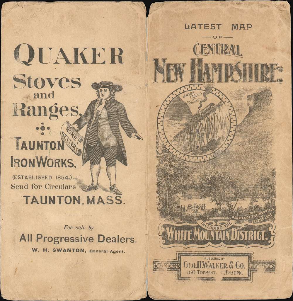
Tourism in the White Mountains
Tourism in the White Mountains began as early as the 1820s, when the region's scenery began to draw people out of the cities. The advent of railroads further encouraged travel into the area, and naturalist and realist writers, like Walt Whitman and his contemporaries, demystified the outdoors. They also changed public perception of the outdoors from wild and foreboding to welcoming and calming. By the late 19th century, when this map was published, there was a thriving summer resort industry in the White Mountains.Publication History and Census
This map was created and published by George H. Walker in 1893. Five examples are cataloged in the OCLC and are part of the institutional collection at Yale University, Harvard College, the Peabody Essex Museum, Dartmouth College, and Plymouth State University. Scarce to the market.Cartographer
George Hiram Walker (January 4, 1852 - November 14, 1927) was a Boston based publisher of books, views, and maps active in the late 19th and early 20th centuries. Born in Springfield, Vermont, Walker started his life as a dry goods merchant but developed an active interest in publishing during the early 1870s. Walker began publishing in 1878 when he partnered with an unknown New York Firm. Two years later, Walker brought the operation in house by partnering with his brother, Oscar W. Walker, in the opening of a lithography studio at 81 Milk Street, Boston. Shortly thereafter the firm expanded to new offices at 160 Tremont Street, Boston. The Walker brothers produced a large corpus of works, most of which focused on travel and tourism in New England. Walker also established the Walker-Gordon Milk Laboratory with Dr. Thomas Morgan Rotch and Gustave Gordon. This interesting investment was based on the premise that infant deaths could be avoided by providing higher quality milk. The company eventually became a great success, producing a high-quality cow milk that closely resembled human breast milk. In the process the Walker-Gordon laboratory developed many of the dairy health standards that are still with us today. Walker married Irene L. Loud on March 25, 1885. More by this mapmaker...
Condition
Very good. Accompanied by original binder.
References
OCLC 57625283.