
Directorate of Colonial Surveys
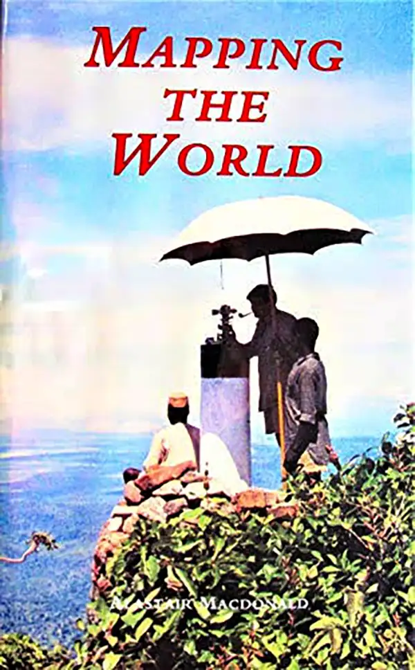
The Directorate of Colonial Surveys (1946 - 2001), later named the Directorate of Overseas Surveys, was a government agency operating in Britain's colonies, former colonies, and in other countries in the mid-late 20th century. Originally established by the British Colonial Office in 1946 as the Directorate of Colonial Surveys (related to but distinct from the Directorate of Colonial Geological Surveys), the organization was renamed the Directorate of Overseas Surveys (DOS) in 1957 to reflect the rapid decolonization of British territories and its evolving role in international development assistance. Tasked with providing centralized geodetic, photogrammetric, and cartographic support, DOS dispatched field surveyors globally and leveraged aerial photography to map millions of square miles across Africa, the Caribbean, the Pacific, and eventually non-Commonwealth nations such as Ethiopia, Sudan, and Yemen. Throughout its tenure, the organization operated under various British foreign-aid bodies, including the Ministry of Overseas Development, to produce topographic maps and train local survey departments in developing nations. DOS was merged into the Ordnance Survey in 1984 to form the Overseas Surveys Directorate (OSD). Rebranded as Ordnance Survey International in 1991, the division shifted focus to international consultancy before disbanding in 2001, leaving behind a legacy archive of over 1.7 million aerial photographs and historic mapping records now preserved by institutions such as the National Collection of Aerial Photography and The National Archives.
Recounting 'the Yomp'.
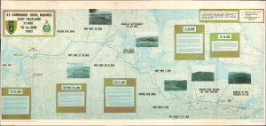
This is a c. 1982 map of East Falkland Island recounting the operations of the British 45 Commando Royal Marines unit during the Falklands War. The unit's difficult three-week overland march, known as the 'Yomp,' ending with the capture of two enemy high points in a nighttime attack, has attained legendary status in British military history. (more details)