
Dong Fangli (董方立)
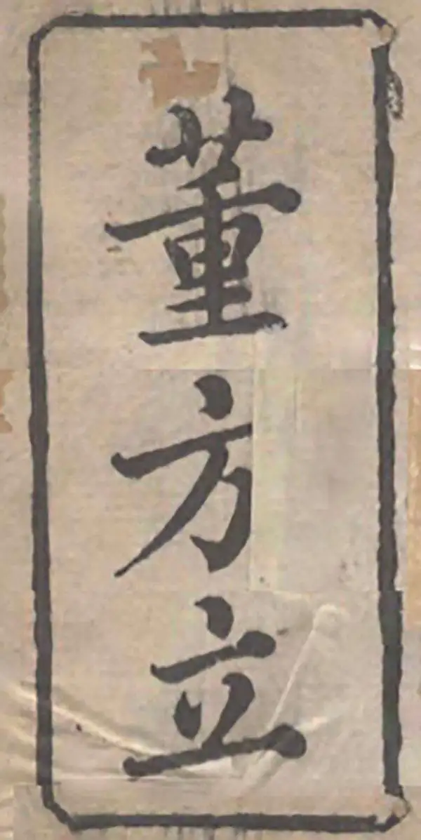
Dong Fangli (董方立; 1791 - 1823) was a mathematician, geographer, and scholarly expert on the Chinese calendrical system in the middle of the Qing Dynasty. He was born in Yanghu, now Changzhou, in Jiangsu, roughly half-way between Shanghai and Nanjing. His birth name was Zengchen (曾臣), and during his early life he was known as Youcheng (祐诚), but is best known by Fangli, his courtesy name. In 1817, his older brother Dong Jicheng (董基诚) attained the exalted jinshi rank in the imperial exams and moved to Beijing, bringing his younger brother with him. Dong Fangli passed the provincial imperial exams (becoming a juren) in 1818, and became known in Beijing as an expert on mathematics and calendrical calculations. Most of Dong's works were in these fields, which prepared him well as a geographer who sought to synthesize Chinese astronomical observations with knowledge of latitude and longitude partially incorporated from Western cartography. In terms of cartography, Dong is best known for compiling the 'Complete Map of the Unified Territory of the Empire' (皇朝壹統輿地全圖) in 1822, a synthesis of earlier Qing administrative maps, updated and informed by a wide range of sources, which was the most detailed and accurate map of the dynasty's territory (including Mongolia, Tibet, and Xinjiang) produced in the early-mid 19th century. Before his death, Dong was working on producing and illustrated Commentary on the Water Classic (水經注圖) but never completed the work and the manuscript was lost after his death. After his death, his older brother Dong Jicheng (董基诚), also a member of the literati who had attained jinshi rank, published his other incomplete works as Dong Fangli Yishu (Posthumous Works of Dong Fangli, 董方立遺書).
AKA: 董方立
Largest and Most Detailed Early-19th Century Map of China.

This is a massive (98 x 134 in) 64-sheet 1832 wall map of Qing China, prepared by Dong Fangli and Li Zhaoluo. Building on administrative maps of the early-mid Qing, it represented the most detailed and accurate mapping of China and surrounding territories under Qing suzerainty produced in the early 19th century. (more details)