
Gardiner, James Terry
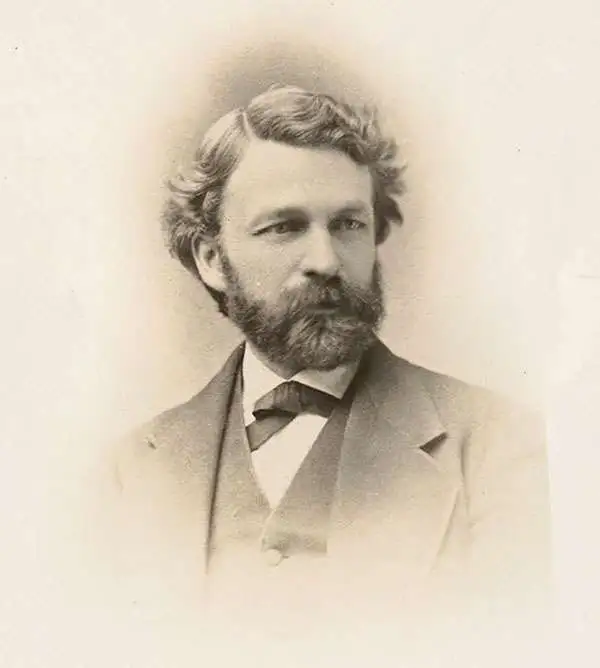
James Terry Gardiner (May 6, 1842 - September 10, 1912), sometimes spelled 'Gardner', was an American surveyor and engineer. Gardiner was born in Troy, New York. He studied at the nearby Rensselaer Polytechnic Institute, and afterwards at the Sheffield Scientific School. In 1863, he joined a childhood friend and geologist Clarence King (January 6, 1842 - December 24, 1901), to travel cross country on horseback to San Francisco - an intimidating and arduous journey. There he worked with the United States Army Corps of Engineers as a civilian assistant and participated in the construction of fortifications on at Fort Mason and Angel Island. From 1964 he worked with the California Geological survey under Josiah Whitney (November 23, 1819 - August 18, 1896). Under Whitney, and often accompanied by King, he embarked on a series of important surveys, including the first scientific survey of the Yosemite Valley and the High Sierra. In 1867 he joined the Fortieth Parallel Survey, led by his friend King. From 1872 - 1876 he was the chief topographer for the Hayden Survey. Afterwards he took a position as director of the State Survey in New York. Meanwhile, he became involved in the mining industry, writing a report on coal and iron in Colorado (1875); serving as vice-president of the coal companies belonging to the Erie Railroad; and becoming president of the Mexican Coke and Coal Company in 1899. With his father-in-law, Bishop William Croswell Doane, he helped establish the community of Northeast Harbor on Mount Desert Island, Maine. There he built a large summer home named, Ye Haven. It still stands today. Gardiner died in Northeast Harbor.
One the earliest obtainable maps of Yosemite!
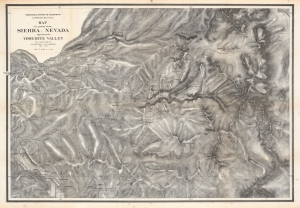
Map of a portion of the Sierra Nevada adjacent to the Yosemite Valley...
$950.00
Acquire
- Digital Map Information
- Suitable for large format printing
- File Size: 204.21 MB
- File Type: ZIP / TIFF
- ICC color profile embedded
- Delivered instantly via download link
This is an 1868 edition of Charles Hoffmann and James Gardiner's detailed map of Yosemite Valley, California, and its surroundings, considered one of the earliest obtainable maps of that region. This map represents early government efforts under Frederick Law Olmsted and Josiah Dwight Whitney to map Yosemite as America's first reserved parkland. It offers superb detail, noting El Capitan, Cathedral Peak, Yosemite Fall(s), Half Dome, the Merced and San Joaquin Rivers, Lake Eleanor, a portion of Mono Lake, and much more. (more details)
One the earliest obtainable maps of Yosemite!
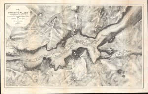
Map of the Yosemite Valley from Surveys made by order of the Commissioners to manage the Yosemite Valley and Mariposa Big Tree Grove.
$1,200.00
Acquire
- Digital Map Information
- Suitable for large format printing
- Full resolution TIFF file
- ICC color profile embedded
- Delivered instantly via download link
This is Clarence King and James Terry Gardiner's detailed map of the Yosemite Valley, California. Published in 1870, it is considered one of the earliest obtainable maps of that region. This map represents early government efforts under Frederick Law Olmsted and Josiah Dwight Whitney to map Yosemite as America's first reserved parkland. It offers superb detail, noting the Merced River, Virgin Tears, Yosemite Falls, Sentinel Rock and Dome, Bridal Veil Falls and Creek, Mariposa Trail, and much more. Important buildings on the valley floor also appear - including Yosemite's first two tourist hotels! (more details)