
Hölzel, Eduard
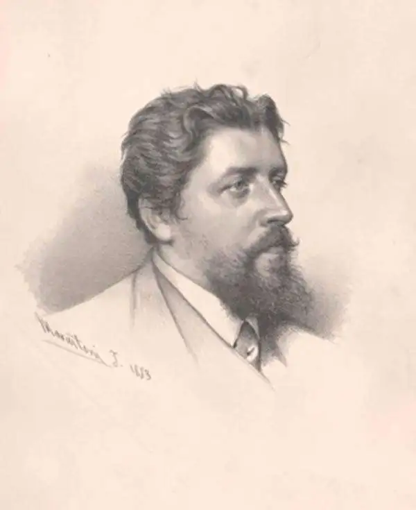
Eduard Hölzel (October 8, 1817 - December 21, 1885) was a bookseller and publisher best known for his geographic educational works and atlases of the lands of the Austro-Hungarian Empire. Born in Prague, Hölzel came from a family with wide interests and a propensity for the arts. His father was an amateur painter and friend of Alois Senefelder (1771 - 1834), the inventor of lithography, and his son Adolf Hölzel (1853 - 1934) became a noted painter. Eduard Hölzel trained as a bookseller in Germany before opening his own shop in Olomouc, Moravia, in 1844. His success with this store led him to open more branches in several nearby cities. In 1858, he partnered with the geographer Blasius Kozenn (1821 - 1871) to publish a pioneering school atlas, which went on to be reissued for many years in various languages and became known to generations of pupils in the Austrian and Hungarian lands as the 'Kozenn School Atlas' (its full title being Geographischer Schulatlas für die Gymnasien, Real- und Handelsschulen der österreichischen Monarchie). In 1861, Hölzel acquired the Vienna lithographic printing firm of Carl Horegschi and founded his own geographical institute and publishing house. In 1871, Hölzel moved to Vienna and began to prepare his sons Hugo and Adolf to take over the company. However, Hugo was often ill and Adolf turned to painting, so that Hölzel's son-in-law Emil Kosmack came to play a major role. Just before his death, Hölzel transferred his company to Hugo and Kosmack, both of whom would be dead within a decade. Hugo Hölzel's widow retained ownership of the company while management passed to Wilhelm Zwierzina. The firm faced many ups and downs over the following decades, but remarkably survives today as Hölzel Verlag with a focus on educational materials.
Balancing Out the Balkans.
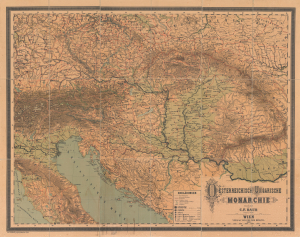
Oesterreichisch Ungarische Monarchie.
$1,000.00
Acquire
- Digital Map Information
- Suitable for large format printing
- File Size: 223.67 MB
- File Type: ZIP / TIFF
- ICC color profile embedded
- Delivered instantly via download link
This is a massive (56 x 70.5 in.) folding wall map of the Austro-Hungarian Empire, prepared in 1882 by Carl Friedrich Baur. It depicts the lands of the Dual Monarchy in the aftermath of the 1878 Congress of Berlin, which saw Austria-Hungary occupy Bosnia and Herzegovina as part of a coordinated effort to limit Russian influence in the Balkans. (more details)