
Kauffman, Ira Ulysses
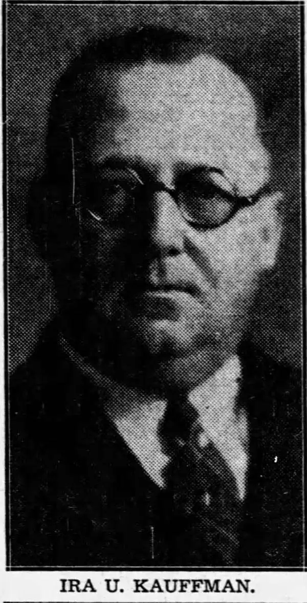
Ira Ulysses Kauffman (May 18, 1881 - December 27, 1937) was an American civil engineer. Born in Massalon, Ohio, Kauffman moved to Atlanta, Georgia, in 1903, where he worked with his brother Orrin Frederick Kauffman (1876 - 1930) in the engineering firm O.F. Kauffman and Brother. Orrin suffered health and personal problem starting in 1929, leading to his suicide in 1930. Likely he retired from the business sometime in 1929, as in that year, Ira opened his own engineering firm with his son in 1929 called I.U. Kauffman and Son, which would later become I.U. Kauffman and Sons, and later the Southern Map Company. At the time of his death, Kauffman worked as chief engineer of the Georgia division of the United States Coast and Geodetic Survey. Over the course of his career, Kauffman helped lay out the Druid Hills, Ansley Park, and Avondale Estates developments, as well as the Camp Gordon and Fort Benning army posts. Kauffman died unexpectedly of a cerebral hemorrhage. One of Kauffman's sons, William R. Kauffman (April 19, 1911 - December 19, 1978), served in the U.S. Navy Seabees in the South Pacific for thirty months during World War II. After being discharged from the Navy, William Kauffman founded an engineering firm in Atlanta called Kauffman and Harman.
Post-war Atlanta - identifies Emory University.
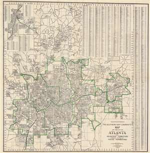
The Southern Map Company's Map of the City of Atlanta and Adjacent Territory Showing System of House Numbering.
$450.00
Acquire
- Digital Map Information
- Suitable for large format printing
- Full resolution TIFF file
- ICC color profile embedded
- Delivered instantly via download link
This is a 1946 Southern Map Company city plan or map of Atlanta, Georgia and the immediate vicinity. Coverage extends from Oakdale Estates and Capital City Country Club to Lakewood and from Pine Acres to Columbia Seminary in Decatur. Streets are illustrated, neighborhoods and subdivisions identified, and Atlanta city wards defined in green (which by extension means the city limits are colored green as well). Emory University, Agnes Scott College, Grant Park, Clark University, Fort McPherson, and Atlanta University rank among the specific sites named. An alphabetical street index occupies the upper right corner and the right side of the sheet. Three insets appear in the upper left detailing College Park, Hapeville, and East Point. (more details)