
Kümmerly, Hermann
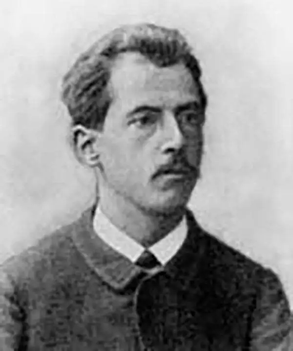
Hermann Kümmerly (September 6, 1857 - April 29, 1905) was a Swiss painter, lithographer, and cartographer. Kümmerly was born in Bern. He apprenticed as a lithographer under his father Gottfried, and also studied as a painter. He worked for a time for the Swiss Confederation's Topographic Bureau, which did not have its own printing company. In conjunction with Rudolf Leuzinger, the Kümmerly printing office gradually specialized in map printing. His maps became renowned for their vivid, accurate depiction of topography and his naturalistic use of color. He became particularly well known for his large school wall map of Switzerland, which has hung in virtually every school in Switzerland from 1903 to today. In 1898, his brother-in-law, Otto Julius Frey, joined the company as a cartographer and co-owner, and the company took the name Kümmerly and Frey. In 1931, Walter Kümmerly and Max Frey, the sons of the two predecessors, took over the management and skillfully steered the company through the years of crisis and World War II, despite the prohibition on map printing. In the post-war period, production shifted back to maps and books with geographic themes. Since 1980, the fourth generation has been represented in the company's management by Barbara Elisabeth Peters.
Capital of Switzerland.
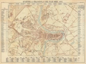
Quartier- und Strassenplan der Stadt Bern. 1892. / Plan der Stade Bern. Mit Strassenverzeichniss und Hausnummern.
$200.00
Acquire
- Digital Map Information
- Suitable for large format printing
- Full resolution TIFF file
- ICC color profile embedded
- Delivered instantly via download link
An attractive 1892 map of Bern, published locally by Hans Körber and Hermann Kümmerly. (more details)
Making Mont Blanc (Relatively) Accesible.
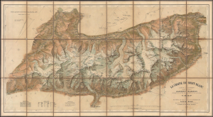
Le Chaine du Mont-Blanc.
$2,500.00
Acquire
- Digital Map Information
- Suitable for large format printing
- Full resolution TIFF file
- ICC color profile embedded
- Delivered instantly via download link
This is a c. 1905 large-format chromolithographed folding map of Mont Blanc and environs on the French-Italian-Swiss border, prepared by Xaver Imfeld. Generally known as 'The Imfeld Map', at the time it was considered the finest map of the mountain, the highest in the Alps, and the surrounding region yet produced. It also coincided with the advent of popular mountaineering in the Alps, including the creation of alpine clubs and the establishment of infrastructure (with shelters, trails, and, of course, maps) to facilitate participation by a wider share of the public. (more details)
Comprehensive visual summary of World War II in Europe.
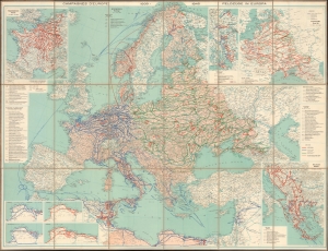
Die Feldzüge in Europa 1939 - 1945.
$950.00
Acquire
- Digital Map Information
- Suitable for large format printing
- File Size: 108.47 MB
- File Type: ZIP / TIFF
- ICC color profile embedded
- Delivered instantly via download link
This is a c. 1947 Erwin Tschudi map of Europe and North Africa offering a striking visual summary of World War II in Europe. (more details)