
Larousse, Eugène-Hyacinthe
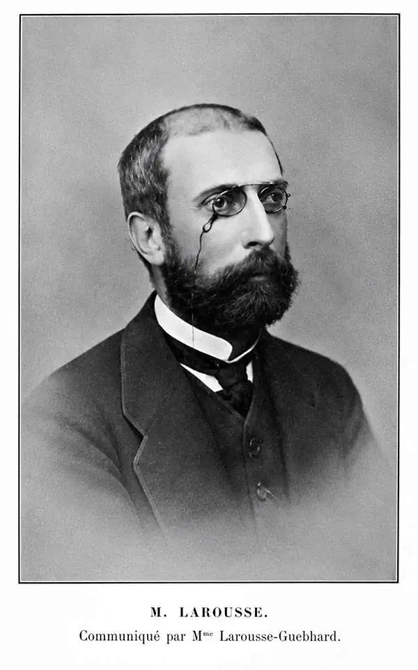
Eugène-Hyacinthe Larousse (August 17, 1832 - March 30, 1896) was a French engineer best known for his work on the Suez Canal and related projects. He was born in Paris and attended the École Polytechnique. After graduating, he worked as a hyrographic engineer for the French navy before accompanying engineer Aristide Lieussou (1815 - 1858) to begin preliminary explorations of the Suez Canal, following the granting of a concession to Ferdinand de Lesseps in 1854. Larousse undertook some of the earliest surveys plotting out the modern harbors of Port Said and Suez, and produced the most comprehensive hydrographic survey of the canal during its construction. After the completion of the canal, he returned to France to work in the Gironde and later explored the possibility of a railway tunnel beneath the English Channel (La Manche). From 1878, he briefly worked as the administrator of the Compagnie du chemin de fer et du port de la Réunion. From 1880 to 1887, he served on the High Consultative Commission of the Panama Canal Company. In 1866, he was made a Chevalier of the Légion d’honneur. He was married to one Mademoiselle Guébhard, with whom he had one daughter.
Earliest Official Map of the Suez Canal.
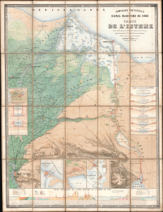
Compagnie Universelle du Canal Maritime de Suez Carte de l'Isthme.
$5,000.00
Acquire
- Digital Map Information
- Suitable for large format printing
- Full resolution TIFF file
- ICC color profile embedded
- Delivered instantly via download link
This is a 1866 large-format chromolithographic folding map issued by the Compagnie universelle du canal maritime de Suez, under the direction of its chief engineer, François-Philippe Voisin. Published in 1866, three years before the canal's completion, this rare first edition of the official canal map is among the most visually compelling and technically detailed maps ever made of the project. During World War I (1914 - 1918), the Imperial German Army deemed it so accurate and useful that it issued a faithful pirated edition for commanders planning an assault on the canal. (more details)