
McLellan, David
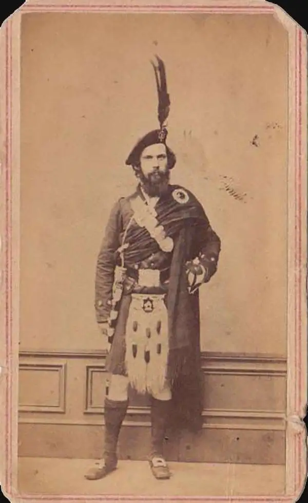
David McLellan (September 20, 1825 - July 26, 1867) was a Scottish-American lithographer and printer active in New York City in the middle part of the 19th century. McLellan was born Pollockshaws, Renfrewshire, Scotland. He lived in Glasgow for about 20 years, where he mastered printing and lithography under his father James McLellan (1798 - 18??). In 1847, he immigrated to New York City with his brother, James McLellan. David initially printed under his own name, 'David McLellan (1851 - 1854), the with in partnership with his brother, James, as 'D and J. McLellan' (1855 - 1860), and then again under his own name during the Civil War from 1862 -1863, then as 'David McLellan and Brothers' (1864 - 1866). He joined the mostly Scottish 79th 'Highlander' Regiment, with whom he participated with the rank of 'Major' in the American Civil War (1862 - 1865). During his long career as a New York lithographer, McLellan worked with many prominent publishers, including J. H. Colton, Edward Valois, James Ackerman, the U.S. Coast Surrey. After his death in 1867 he was interred in Greenwood Cemetery. The McLellan printing business continued after his death under the imprint of John McLellan (1867 - 1868) and J. (John) and R. (Robert) McLellan (1869). No further McLellan work is known after 1869.
Settling the Upper Midwest.
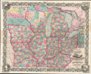
Colton's Railroad and Township Map Western States compiled from the United States Surveys. / Map of the Western States.
$1,500.00
Acquire
- Digital Map Information
- Suitable for large format printing
- File Size: 121.82 MB
- File Type: ZIP / TIFF
- ICC color profile embedded
- Delivered instantly via download link
This is a lovely, decorative, large-format 1854 pocket map of the American Midwest by Joseph H. Colton. It captures the region in the years before the U.S. Civil War and is notable for including Minnesota as a territory as well as demonstrating the rapid expansion of railroads throughout the Midwest. (more details)
Between Province and Dominion.
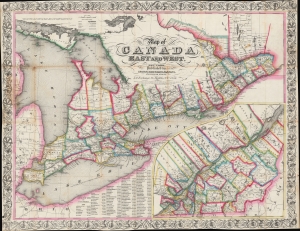
Map of Canada East and West.
$850.00
Acquire
- Digital Map Information
- Suitable for large format printing
- Full resolution TIFF file
- ICC color profile embedded
- Delivered instantly via download link
This is a striking 1854 Ensign, Bridgman, and Fanning map of Ontario and Quebec, Canada. The map captures the ephemeral period between the 1841 founding of the Province of Canada, and the 1867 Canadian Confederation. (more details)