
Mortimer Co.

Mortimer Co. (c. 1887 - 1935) was a Canadian publisher of maps and books based in Ottawa. They maintained a specialty in publishing government works as well as books and maps relating to sport, tourism, mining, railways, and Canadian geography and patriotism, such as Alphabet of First Things in Canada and the The Canadian Parliamentary Guide.
Postwar Rebound of Atlantic Fishing Industry.
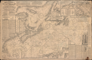
Fishermen and Yachtmen's Chart Cape Cod to Newfoundland.
$950.00
Acquire
- Digital Map Information
- Suitable for large format printing
- Full resolution TIFF file
- ICC color profile embedded
- Delivered instantly via download link
This is a 1929 / 1946 Albert Close nautical chart / map of the Atlantic Coast of North America, covering from Cape Cod to Newfoundland. Intended for fishermen, this information-dense chart was published in the immediate aftermath of World War II (1939 - 1945) and reflects the gradual return to a peacetime fishing economy. (more details)