
Roche-Poncié, Ferdinand Antoine Jules de la
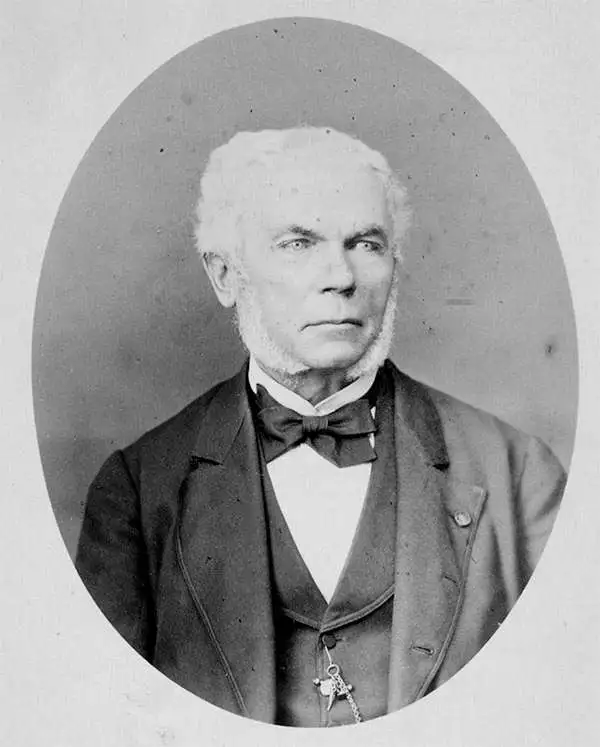
Ferdinand Antoine Jules de la Roche-Poncié (August 19, 1810 – March 30, 1881) was a French hydrographic engineer and cartographer active throughout the 19th century. Poncié was born in Vauxrenard, France. After graduating from the École Polytechnique in 1829 he joined the French navy, becoming a naval hydrographic engineer in 1832. Numerous important French surveys bear his name, including the first detailed hydrographic survey of the St. Pierre and Miquelon Islands, and numerous maps of East Asian waters. He received the Legion of Honor in 1841, ultimately attaining the grade of Commander. In 1860 he settled in Paris where he became a member of the Hydrographic Committee under Rear-Admiral Pierre Mathieu. He died in Paris in 1881.
A rare nautical chart of the French overseas collective St. Pierre.
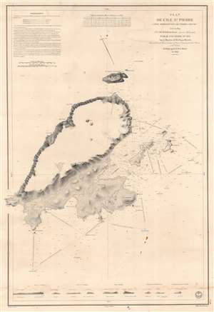
Plan de l'Ile St. Pierre (Côte Méridionale de Terre Neuve).
$450.00
Acquire
- Digital Map Information
- Suitable for large format printing
- DPI: 600
- File Size: 81.96 MB
- File Type: ZIP / TIFF
- ICC color profile embedded
- Delivered instantly via download link
This is an 1834 Jules de la Roche-Poncié and Dépot de la Marine nautical chart or maritime map of St. Pierre Island, part of the French overseas collective, ('collectivité d'outre-mer'), St. Pierre and Miquelon. St. Pierre dominates the sheet, and its coastlines appear in impressive detail. Coves, points, bays, and other coastal locations are labeled. The Ile aux Chiens, Ile aux Vainqueurs, the Ile aux Pigeons, and Grand Colombier are illustrated and labeled, along with numerous smaller coastal islands. Depth soundings, navigation directions, and other notations provide mariners with navigational assistance. Nine coastal views appear along the bottom border to further aid navigation. (more details)
France and the China Trade.
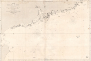
Carte de la Mer de Chine (3ème Feuille) d'Hainan à Namoa.
$750.00
Acquire
- Digital Map Information
- Suitable for large format printing
- Full resolution TIFF file
- ICC color profile embedded
- Delivered instantly via download link
This is an 1853 French Dépôt de la Marine nautical map of the coast of China from Hainan to Nan'ao Island (Namao), including Macao, Hong Kong, and Guangzhou (Canton). The chart was issued to support growing French trade with China in the Treaty Port Era. (more details)
Laying the French-Atlantic Cable.
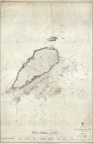
St. Pierre Island.
$750.00
Acquire
- Digital Map Information
- Suitable for large format printing
- File Size: 18.89 MB
- File Type: ZIP / TIFF
- ICC color profile embedded
- Delivered instantly via download link
A rare 1861 map of France's last colony in North America, the tiny island of St. Pierre of the coast of Newfoundland, with manuscript additions related to the French Atlantic Telegraph Company. This chart covers all of St. Pierre Island as well as the adjacent islands and the surrounding seas. The harbor community of St. Pierre is detailed with individual streets and buildings recognizable. This map is noteworthy not only for its rarity but also for the manuscript addition of the course of the French Atlantic Telegraph. (more details)