
Royal Danish Chart Archive
The Royal Danish Chart Archive (1784 - 1973) or Det Kongelige Danske Søkaart-Archiv was established by the Danish Crown in 1784. Impressed by the French Dépôt des Cartes de Marine, the crown recruited Captain Lieutenant Poul de Løwenørn to act as the first director of the archive. Løwenørn collected nautical charts from all parts of the world. The archive later began issuing its own charts, often improving and updating older charts. The archive was merged with the Nautical Chart Archive and Life Guard in 1973.
A working nautical chart of the Kattegat - the strait between Denmark and Sweden.
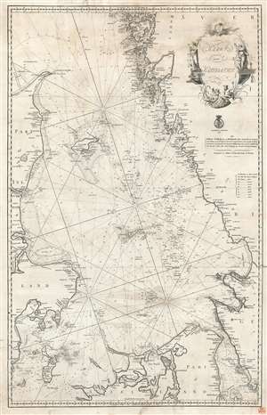
Kaart over Kattegattet.
$1,300.00
Acquire
- Digital Map Information
- Suitable for large format printing
- DPI: 600
- File Size: 36.76 MB
- File Type: ZIP / TIFF
- ICC color profile embedded
- Delivered instantly via download link
This is an 1820 Royal Danish Nautical Charts Archive nautical chart or maritime map of the Kattegat, the strait between Denmark and Sweden. This is one of the most actively navigated bodies of water in the world. With Denmark on the left and Sweden on the right, myriad islands appear along Sweden's coastline, and the many islands dotting the strait are illustrated and labeled. Depth soundings and rhumb lines provide navigational aids. Manuscript notes suggest that this chart was used aboard ship. (more details)
Baltic Sea near Stockholm!
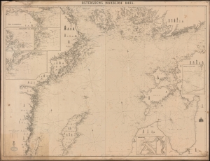
Ostersoens Nordlice Deel.
$1,000.00
Acquire
- Digital Map Information
- Suitable for large format printing
- Full resolution TIFF file
- ICC color profile embedded
- Delivered instantly via download link
This is a rare 1871 blueback chart or nautical map of the northern Baltic Sea, including Stockholm, Sweden. (more details)