
Russell, John

John Russell (c. 1750 - 1829) was a British cartographer active in London during the late 18th and early 19th centuries. Russell apprenticed as a goldsmith under William Palmer before turning to engraving and printing. He drew maps and engraved for several major publishers of his period including Alexander Dalrymple, Benjamin Henry, Robert Sayer, John Moore, and William Guthrie. Russell's 10 apprentices included such prominent cartographers as Alexander Findlay and Samuel Clapp. Russell was based on Constitution Row Grays Inn Lane, Middlesex (London).
A rare early 19th European century map of China.
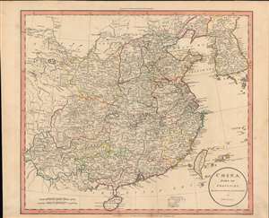
China divided into provinces drawn from the best authorities.
$600.00
Acquire
- Digital Map Information
- Suitable for large format printing
- DPI: 600
- File Size: 43.85 MB
- File Type: ZIP / TIFF
- ICC color profile embedded
- Delivered instantly via download link
John Russell's scarce map of China, produced for the atlas to the 1811 edition of William Guthrie's A System of Modern Geography. Russell highlights the provinces of 'China proper', or roughly the territory of the Ming Dynasty, conquered by the Qing in the mid-17th century. (more details)
The Landscape of Late Georgian London.
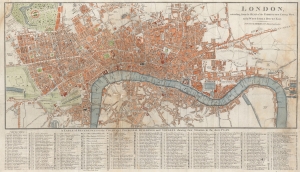
London, extending from the Head of the Paddington Canal West, to the West India Docks East.
$600.00
Acquire
- Digital Map Information
- Suitable for large format printing
- File Size: 18.7 MB
- File Type: ZIP / TIFF
- ICC color profile embedded
- Delivered instantly via download link
A highly-detailed c. 1816 city plan of London, originally prepared by John Russell and published by James Robins and Company. This map captures London at a time of expansion and construction, with numerous new thoroughfares, bridges, and even docks illustrated. (more details)