
Sambucus, Johannes
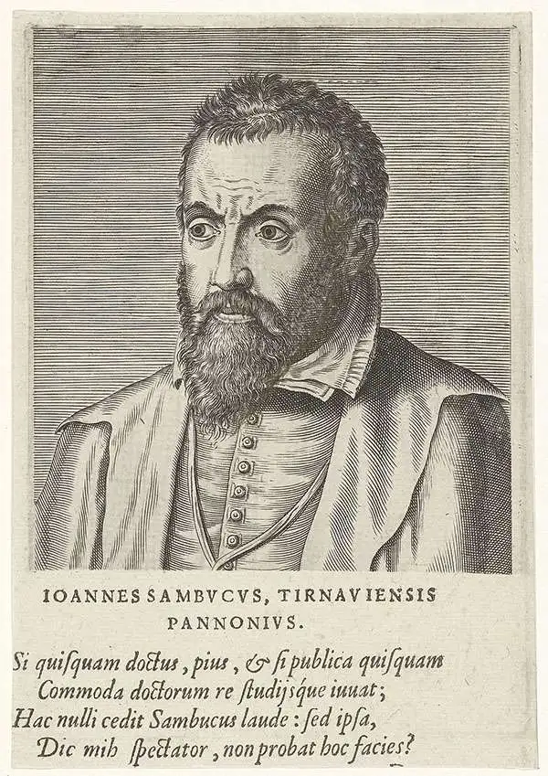
János Zsámboky, or Johannes Sambucus,(June 1, 1531 - June 13, 1584) was a Hungarian humanist polymath. He is best known for his emblem book, Emblemata cum aliquot nummis antiqui operis, published in five editions starting in 1564. He had studied in Vienna, but traveled broadly: he studied and worked in Leipzig, Wittenberg, Ingolstadt, Strasbourg, Paris, Venice, Padua, Genoa, Naples, Milan, Ghent, and Antwerp. He would be appointed court physician of Emperor Maximilian II, and prospered in that association, allowing him to amass wealth, influence, and an impressive library. His works included several maps - Hungary, Transylvania and Illyricum - which provided the basis for Abraham Ortelius' maps of those regions. Ortelius' decision to use Sambucus' maps speaks both to his influence, as well as a shared interest: Like Ortelius, Sambucus collected coins.
Transylvania, from the first modern atlas.
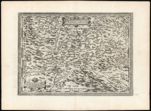
Transilvania / Hanc ultra Transilvaniam, quae et Panodacia, et Dacia Ripēsis, vulgo Sibemburgē Dicitur, edidit Viennae Ao. 1566 Nobiliss. atque Doctiss. Ioês Sâbucus Pannonius.
$750.00
Acquire
- Digital Map Information
- Suitable for large format printing
- DPI: 600
- File Size: 54.14 MB
- File Type: ZIP / TIFF
- ICC color profile embedded
- Delivered instantly via download link
This is Abraham Ortelius' 1575 map of Transylvania, from the first modern atlas, covering what is now central Romania. It is a superb engraving, dramatically presenting the mountains and forests of this frontier region of Europe and the Turkish Empire. (more details)
Rare, Venetian Imprint.
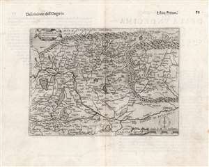
Di Hungaria et Transilvania Tavola novissima Franco for.
$600.00
Acquire
- Digital Map Information
- Suitable for large format printing
- DPI: 600
- File Size: 14.88 MB
- File Type: ZIP / TIFF
- ICC color profile embedded
- Delivered instantly via download link
This is a rare 1597 map of Hungary and Transylvania by the Venetian mapmaker Giacomo Franco. The map is credited as the work of Bernardino Valle, that draftsman's sole known work. It is derived from the cartography of János Zsámboky, probably via the intermediary of Abraham Ortelius. (more details)