
Van Alst, Peter G.
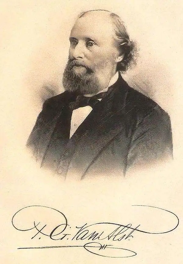
Peter G. Van Alst (May 28, 1828 - October 15, 1900) was a surveyor, civil engineer, and politician who played an important role in the development of Queens on Long Island in the late 19th century. Van Alst was born in Dutch Kills to a prominent, long-established Dutch 'Knickerbocker' family. He studied at the District School and the Astoria Institute and from 1845 apprenticed as a surveyor under H.F. Betts in Williamsburg. When Betts died in 1853, Van Alst bought his shop and equipment, operating them in partnership with J.V. Mesrole for two years before Mersole left and Van Alst established the firm in his own name. He quickly became the leading surveyor active in the rapidly-growing western part of Queens County. In 1873, Van Alst produced the first cadastral map of Long Island City, incorporated in 1870 and including the towns and settlements of Dutch Kills, Hunters Point, Astoria, Steinway, Sunnyside, and several others (previously part of Newtown, later Elmhurst). He likewise prepared foundational maps of various neighborhoods (wards), schematics for the grading and layout of roads, and plans for utilities (especially sewer lines). Due to his expertise, Van Alst was appointed several times as a city commissioner to oversee contracts related to public works. By the end of his career, Van Alst had played a major role in transforming western Queens from a collection of small villages surrounded by farmland into the sprawling urban landscape that it remains today. A K-12 public magnet school (P.S. 171) and a playground in Astoria are named for Van Alst, as was an avenue (now 21st St.) and eponymous subway station (still officially 21st Street–Van Alst) on the IND Crosstown Line (G Train).
LIRR hub between Queens, Manhattan, and Brooklyn.
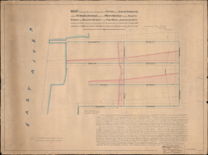
Map showing the amended grades of Fifth and Sixth Streets, west of Vernon Avenue...
$1,500.00
Acquire
- Digital Map Information
- Suitable for large format printing
- Full resolution TIFF file
- ICC color profile embedded
- Delivered instantly via download link
This is a unique 1877 map of Hunters Point in Long Island City, Queens, prepared by surveyor and local grandee Peter G. Van Alst. Dedicated to regrading streets in the area to facilitate traffic, the map was prepared as Hunters Point transformed into a small urban center in its own right, having become the major Long Island Railroad (LIRR) hub in the preceding years. (more details)