
Welcke, Robert Alexander
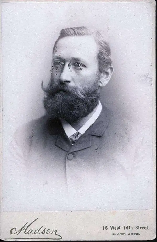
Robert Alexander Welcke (November 24, 1848 - January 27, 1936) was a photolithographer active in New York in the latter part of the 19th century and early 20th century. Welcke was born in Wronke, today in Poland, but then part of Prussia. He emigrated to New York City in 1869. After settling, Welcke entered the lithography business with his brother, Edward Welcke, who had arrived a decade earlier. After a split between the brothers during the economic depression of the late 1870s, Robert Welcke continued in business on his own. Welcke's firm, Robert A. Welcke Offset Company, was based at 176 William Street. His corpus ranges from real estate maps of New York and Connecticut to illustrations on Flemish Renaissance interiors to government maps and brochures to decorative sheet music covers. Following Welcke's death, the firm was taken over by his daughter, Olga Welcke, who, alongside William Jugens, managed it until the outbreak of World War II (1939 - 1945).
19th Century Midtown.
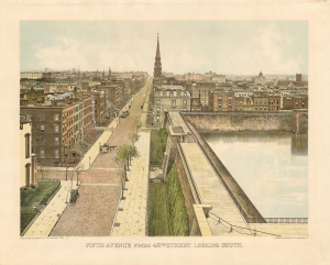
Fifth Avenue from 42nd Street, Looking South.
$650.00
Acquire
- Digital Map Information
- Suitable for large format printing
- File Size: 27.01 MB
- File Type: ZIP / TIFF
- ICC color profile embedded
- Delivered instantly via download link
This is a beautiful photolithograph view of New York City’s Murray Hill neighborhood, executed in 1904 by printer Robert Welcke from a photograph taken in 1879 by the great panorama artist John Bachmann. (more details)
Reshaping Campus and City Alike.
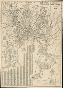
The Price and Lee Co's New Map of the City of New Haven, Connecticut.
$250.00
Acquire
- Digital Map Information
- Suitable for large format printing
- Full resolution TIFF file
- ICC color profile embedded
- Delivered instantly via download link
This is a 1919 city plan or map of New Haven, Connecticut, prepared by civil engineer A. B. Hill for the Price and Lee Company. It captures the city in the immediate post-World War I era, when both it and Yale University were undergoing significant changes. (more details)
A one-of-a-kind map of Newark, New Jersey tracing railroad lines in and around the city.
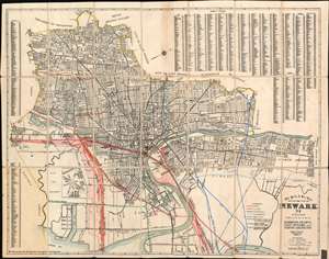
The Price and Lee Co's Map of the City of Neward N.J. including Irvington Harrison, Kearny, East Neward and North Arlington
$650.00
Acquire
- Digital Map Information
- Suitable for large format printing
- File Size: 28.28 MB
- File Type: ZIP / TIFF
- ICC color profile embedded
- Delivered instantly via download link
This is a 1940 Price and Lee Company city plan or map of Newark, New Jersey featuring manuscript railroad lines. Streets throughout the city are labeled, along with parks, cemeteries, and city wards. The Passaic River separates Newark from East Newark, Kearny, and North Arlington. An area of the map, which greatly resembles an inset, details Newark Metropolitan Airport, which today is known as Newark Liberty International Airport. A street index is situated in the upper right corner and continues for the town of Irvington, New Jersey, along the left border. (more details)