
Burroughs, Horatio Nelson
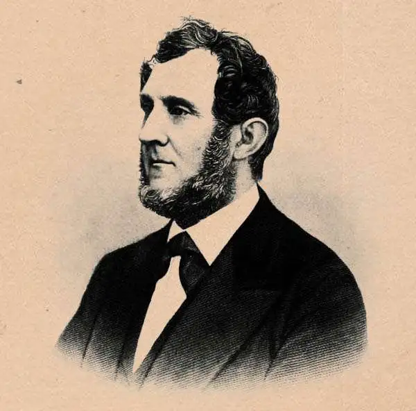
Horatio Nelson Burroughs (June 28, 1812 - August 23, 1896) was an engraver and later a banker based in Pennsylvania and active in the early 19th century. He was born in Washington Crossing, New Jersey. Burroughs' work first appears in conjunction with Henry Schenk Tanner and Samuel Augustus Mitchell (the elder). His name appears on the 1846 copyrights of many of Mitchell's earliest and most important atlas and pocket maps. Following 1846, Burroughs retired from engraving to become a banker, eventually becoming president of Commonwealth Bank. He married first Eleanor Douglas Mitchell (18?? - 1853), then, after her untimely death, her sister Caroline Mitchell (1818 - 1892), both daughters of map and atlas publisher Samuel Augustus Mitchell Sr. (1792 - 1868).
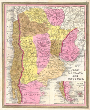
Chili La Plata and Uruguay. / South Part of Patagonia.
$190.00
Acquire
- Digital Map Information
- Suitable for large format printing
- Full resolution TIFF file
- ICC color profile embedded
- Delivered instantly via download link
This scarce hand colored map is a lithographic engraving of Chile, La Plata and Uruguay, dating to 1846 by the legendary American Mapmaker S.A. Mitchell, the elder. Mostly depicts modern day Argentina. There is an inset of Patagonia and Tierra del Fuego on the ... (more details)

United States.
$325.00
Acquire
- Digital Map Information
- Suitable for large format printing
- DPI: 300
- File Size: 7.91 MB
- File Type: ZIP / TIFF
- ICC color profile embedded
- Delivered instantly via download link
A fine example of the 1846 first edition of Mitchell's map of the United States. This map covers the United States east of the Mississippi as well as the Trans-Mississippi territories of Louisiana, Arkansas, Missouri, and Iowa. The whole is engraved and colored ... (more details)
The Great Metropolis.
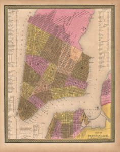
City of New York.
$550.00
Acquire
- Digital Map Information
- Suitable for large format printing
- Full resolution TIFF file
- ICC color profile embedded
- Delivered instantly via download link
This is Samuel Augustus Mitchell's hand-colored 1848 map of New York City. It reflects the city in a period of rapid development, defined by immigration and industrialization. (more details)
Emerging national capital.
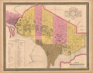
City of Washington.
$350.00
Acquire
- Digital Map Information
- Suitable for large format printing
- File Size: 14.24 MB
- File Type: ZIP / TIFF
- ICC color profile embedded
- Delivered instantly via download link
This is Samuel Augustus Mitchell's 1848 city map of Washington D.C., an emerging city still under construction when this map was published. The plan is a combination of existing urbanization and projections. Nearby Georgetown, also included, was much more developed. (more details)